Transport Functions
Multimodal
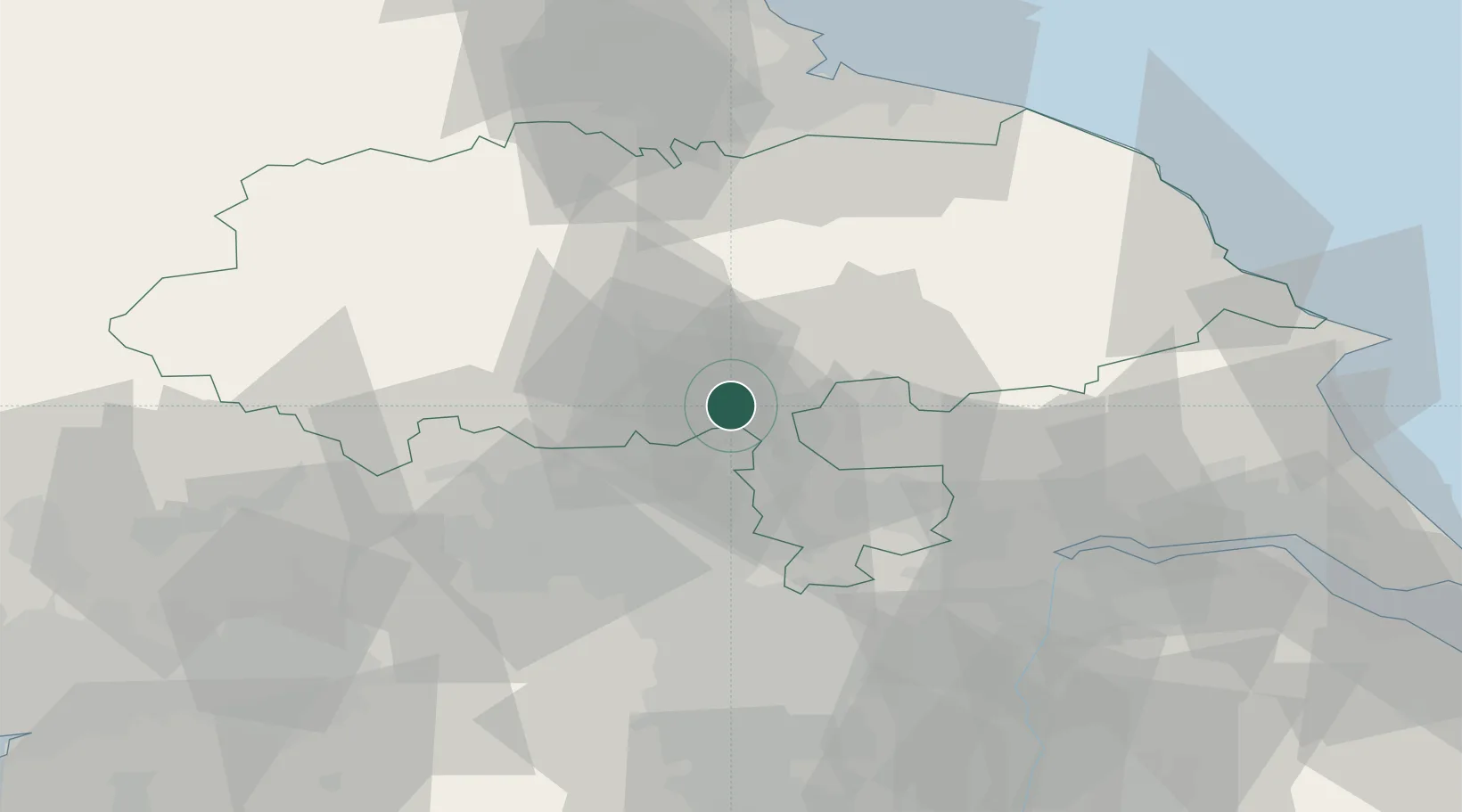
Hub Profile
Place type
Populated place
Region
England
Time zone
Europe/London
Elevation
6 m
Location
Nearby Logistics Neighbours
Cities
- 1Crowle3 km
- 2Flaxby5 km
- 3Bilton7 km
- 4Hessay10 km
- 5Upper Poppleton13 km
Ports
- 1Howdendyke41 km
- 2Goole46 km
- 3Scarborough70 km
- 4New Holland72 km
- 5Whitby73 km
Airports
- 1Leeds East Airport19 km
- 2Leeds Bradford Airport24 km
- 3RAF Topcliffe25 km
- 4RAF Leeming37 km
- 5Teesside International Airport59 km
Trade Zones
DatabookThe Record of Consolidated Knowledge
United Kingdom beyond logistics?