UN/LOCODE hub · United Kingdom
GBWIT
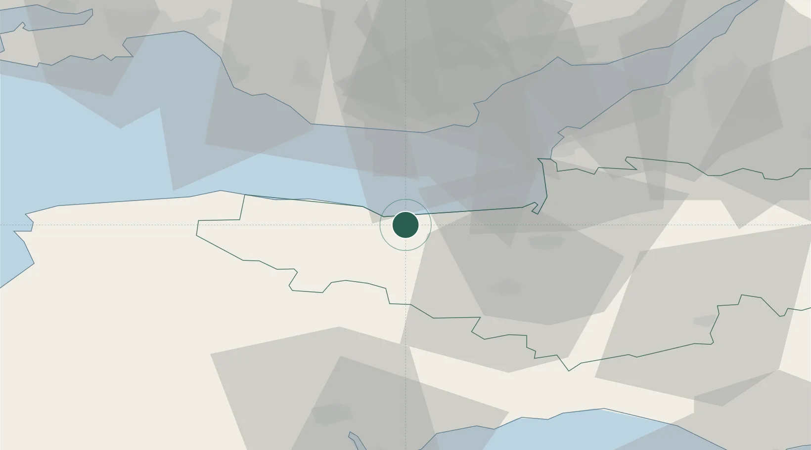
Williton
51.1667°, -3.3333°
2,644
Population
2
Transport functions
Transport Functions
Rail
Road
Hub Profile
Place type
Populated place
Region
England
Population
2,644
Time zone
Europe/London
Elevation
31 m
Location
Nearby Logistics Neighbours
Cities
- 1Porlock7 km
- 2Dunster7 km
- 3Minehead10 km
- 4Luxborough11 km
- 5Milverton16 km
Ports
- 1Watchet Harbor2 km
- 2Bridgwater24 km
- 3Barry26 km
- 4Cardiff34 km
- 5Newport49 km
Airports
- 1Cardiff International Airport26 km
- 2MOD St Athan27 km
- 3Exeter International Airport48 km
- 4Bristol Airport49 km
- 5RNAS Yeovilton52 km
Trade Zones
DatabookThe Record of Consolidated Knowledge
United Kingdom beyond logistics?