UN/LOCODE hub · United Kingdom
GBWSM
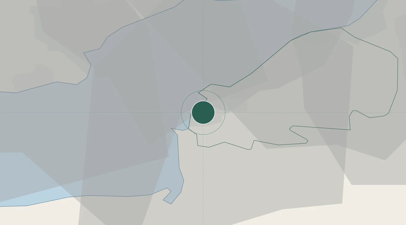
Weston-Super-Mare
51.3500°, -2.9667°
82,903
Population
3
Transport functions
Transport Functions
Port
Rail
Road
Hub Profile
Place type
Provincial seat
Region
England
Population
82,903
Time zone
Europe/London
Elevation
13 m
Location
Nearby Logistics Neighbours
Cities
- 1Congresbury11 km
- 2Winscombe11 km
- 3Yatton11 km
- 4Lower Weare12 km
- 5Clevedon13 km
Airports
- 1Bristol Airport18 km
- 2Cardiff International Airport27 km
- 3MOD St Athan33 km
- 4RNAS Yeovilton44 km
- 5Exeter International Airport75 km
Trade Zones
DatabookThe Record of Consolidated Knowledge
United Kingdom beyond logistics?