UN/LOCODE hub · United Kingdom
GBCMO
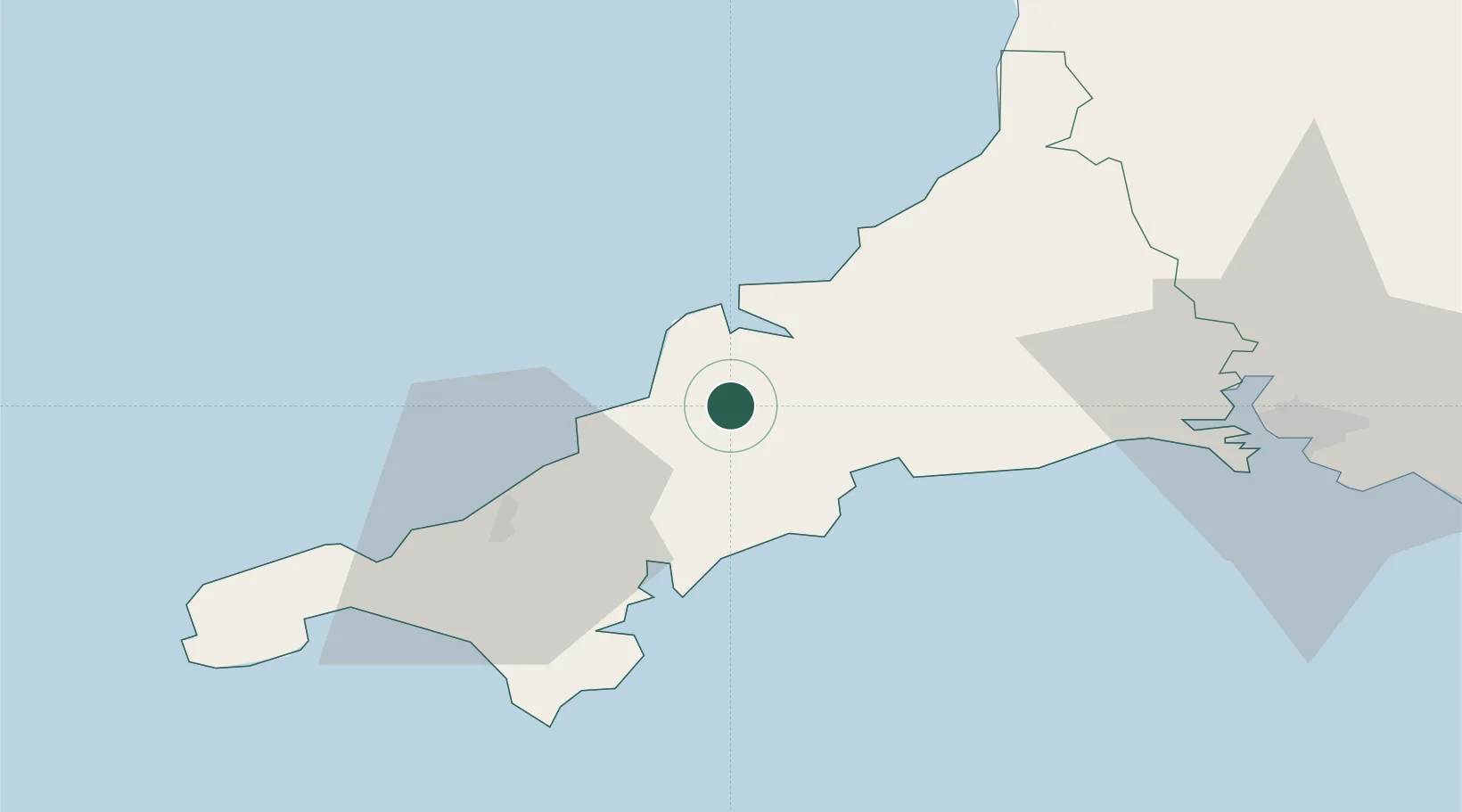
Saint Columb Major
50.4167°, -4.9333°
3,170
Population
2
Transport functions
Transport Functions
Road
Multimodal
Hub Profile
Place type
Populated place
Region
England
Population
3,170
Time zone
Europe/London
Elevation
98 m
Location
Nearby Logistics Neighbours
Cities
- 1Summercourt8 km
- 2Bugle10 km
- 3Irby11 km
- 4Ladock11 km
- 5Rejerrah13 km
Ports
- 1Padstow15 km
- 2Charlestown16 km
- 3Par18 km
- 4Mevagissey20 km
- 5Fowey Harbour23 km
Airports
- 1Cornwall Airport Newquay5 km
- 2RNAS Culdrose43 km
- 3Penzance Heliport52 km
- 4Land's End Airport63 km
- 5Hartland Point Heliport73 km
Trade Zones
DatabookThe Record of Consolidated Knowledge
United Kingdom beyond logistics?