Transport Functions
Port
Hub Profile
Place type
Populated place
Region
England
Time zone
Europe/London
Elevation
105 m
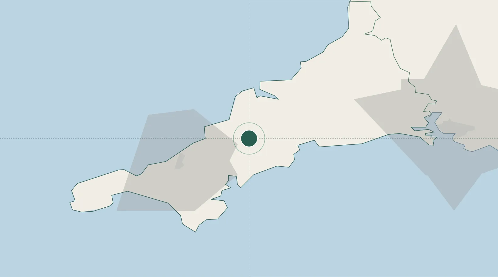
Location
Nearby Logistics Neighbours
Cities
- 1Irby4 km
- 2Ladock4 km
- 3Saint Columb Major8 km
- 4Rejerrah8 km
- 5Saint Clement12 km
Ports
- 1Charlestown16 km
- 2Mevagissey16 km
- 3Par19 km
- 4Padstow22 km
- 5Falmouth Harbour23 km
Airports
- 1Cornwall Airport Newquay10 km
- 2RNAS Culdrose36 km
- 3Penzance Heliport46 km
- 4Land's End Airport57 km
- 5Hartland Point Heliport81 km
Trade Zones
DatabookThe Record of Consolidated Knowledge
United Kingdom beyond logistics?