Transport Functions
Port
Road
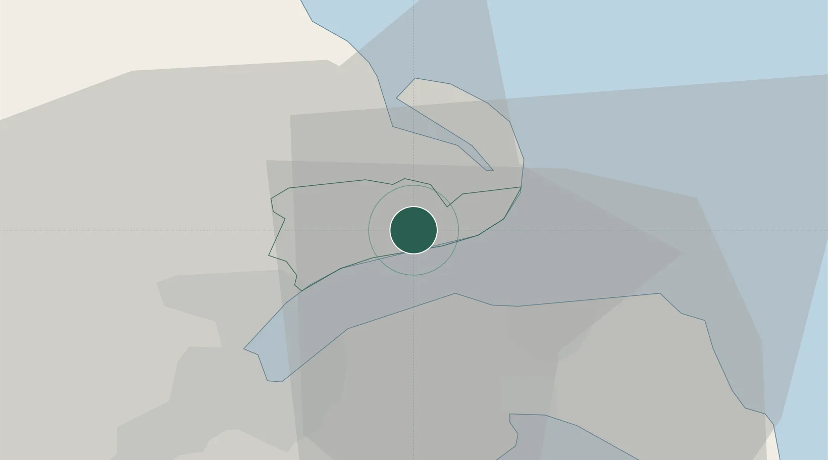
Hub Profile
Place type
Populated place
Region
Scotland
Population
201
Time zone
Europe/London
Elevation
8 m
Location
Nearby Logistics Neighbours
Cities
- 1Cloghan Point/Carrickfergus4 km
- 2Whitehead6 km
- 3Newtownabbey9 km
- 4Islandmagee11 km
- 5Ballylumford11 km
Airports
- 1George Best Belfast City Airport14 km
- 2Belfast International Airport29 km
- 3Campbeltown Airport79 km
- 4City of Derry Airport95 km
- 5Isle of Man Airport104 km
Trade Zones
DatabookThe Record of Consolidated Knowledge
United Kingdom beyond logistics?