UN/LOCODE hub · United Kingdom
GBZHG
Ahoghill
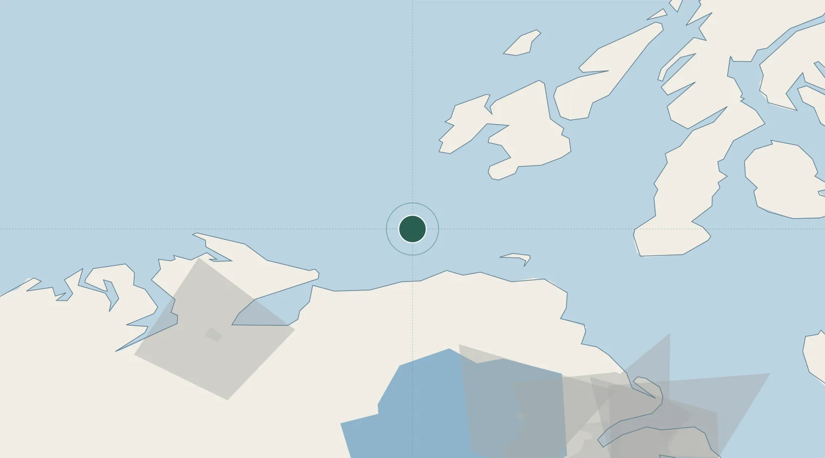
55.4000°, -6.6000°
3,633
Population
1
Transport functions
Transport Functions
Multimodal
Hub Profile
Place type
Populated place
Region
Northern Ireland
Population
3,633
Time zone
Europe/London
Elevation
85 m
Location
Nearby Logistics Neighbours
Cities
- 1Portballintrae21 km
- 2Dunseverick21 km
- 3Ballintoy24 km
- 4Portstewart25 km
- 5Kilrea29 km
Ports
- 1Coleraine30 km
- 2Port Ellen36 km
- 3Campbeltown63 km
- 4Londonderry64 km
- 5Rathmullan68 km
Airports
- 1Islay Airport38 km
- 2City of Derry Airport53 km
- 3Campbeltown Airport58 km
- 4Colonsay Airstrip77 km
- 5Belfast International Airport86 km
Trade Zones
DatabookThe Record of Consolidated Knowledge
United Kingdom beyond logistics?