Channel & Berth Profile
Pilotage, Tugs & Services
Pilotage compulsoryYES
Pilotage availableYES
Potable waterYES
Diesel bunkersYES
Garbage disposalYES
Facilities & Capabilities
Container—
Ro-Ro—
Liquid bulk—
Dry bulk—
Oil terminal—
Break bulk—
Dry dock—
RepairsNO
BunkeringYES
Rail link—
Dangerous cargo—
ISPS security—
Harbour Specifications
Harbour size
Very Small
Harbour type
Open Roadstead
Shelter
Poor
Water body
North Sea; North Atlantic Ocean
Tidal range
5 m
Pilotage
Yes
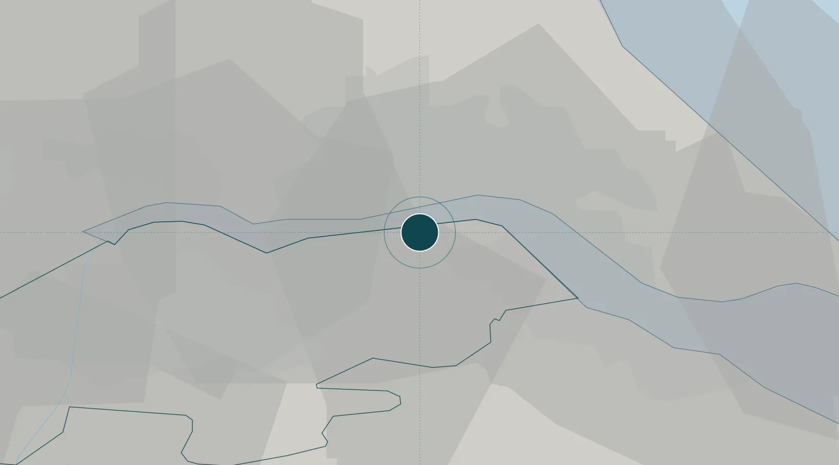
Location
Nearby Logistics Neighbours
Ports
- 1Kingston Upon Hull8 km
- 2Immingham13 km
- 3Grimsby24 km
- 4Goole31 km
- 5Howdendyke34 km
Cities
- 1Barrow-upon-Humber2 km
- 2Goxhill4 km
- 3Hessle/Hull5 km
- 4Binbrook6 km
- 5Barton upon Humber6 km
Airports
- 1Humberside Airport14 km
- 2Leeds East Airport56 km
- 3RAF Waddington60 km
- 4RAF Coningsby69 km
- 5RAF Cranwell75 km
Trade Zones
DatabookThe Record of Consolidated Knowledge
United Kingdom beyond logistics?