Transport Functions
Road
Multimodal
Hub Profile
Place type
Populated place
Region
England
Time zone
Europe/London
Elevation
35 m
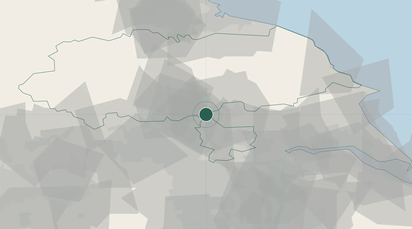
Location
Nearby Logistics Neighbours
Cities
- 1Hessay5 km
- 2Ealand7 km
- 3Upper Poppleton9 km
- 4Crowle9 km
- 5Flaxby11 km
Ports
- 1Howdendyke35 km
- 2Goole40 km
- 3New Holland65 km
- 4Scarborough68 km
- 5Kingston Upon Hull68 km
Airports
- 1Leeds East Airport14 km
- 2Leeds Bradford Airport27 km
- 3RAF Topcliffe29 km
- 4RAF Leeming43 km
- 5Teesside International Airport63 km
Trade Zones
DatabookThe Record of Consolidated Knowledge
United Kingdom beyond logistics?