UN/LOCODE hub · United Kingdom
GBKBT
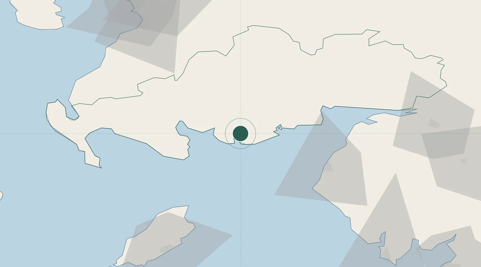
Kirkcudbright
54.8333°, -4.0500°
3,390
Population
2
Transport functions
Transport Functions
Port
Road
Hub Profile
Place type
Populated place
Region
Scotland
Population
3,390
Time zone
Europe/London
Elevation
4 m
Location
Nearby Logistics Neighbours
Cities
- 1Cleator Moor13 km
- 2Kippford18 km
- 3Garlieston21 km
- 4Wigtown25 km
- 5Isle of Whithorn25 km
Ports
- 1Workington40 km
- 2Silloth42 km
- 3Ramsey61 km
- 4Stranraer63 km
- 5Ayr80 km
Airports
- 1Carlisle Lake District Airport80 km
- 2Glasgow Prestwick Airport82 km
- 3Isle of Man Airport91 km
- 4Barrow Walney Island Airport93 km
- 5RAF Spadeadam99 km
Trade Zones
DatabookThe Record of Consolidated Knowledge
United Kingdom beyond logistics?