UN/LOCODE hub · United Kingdom
GBWPH
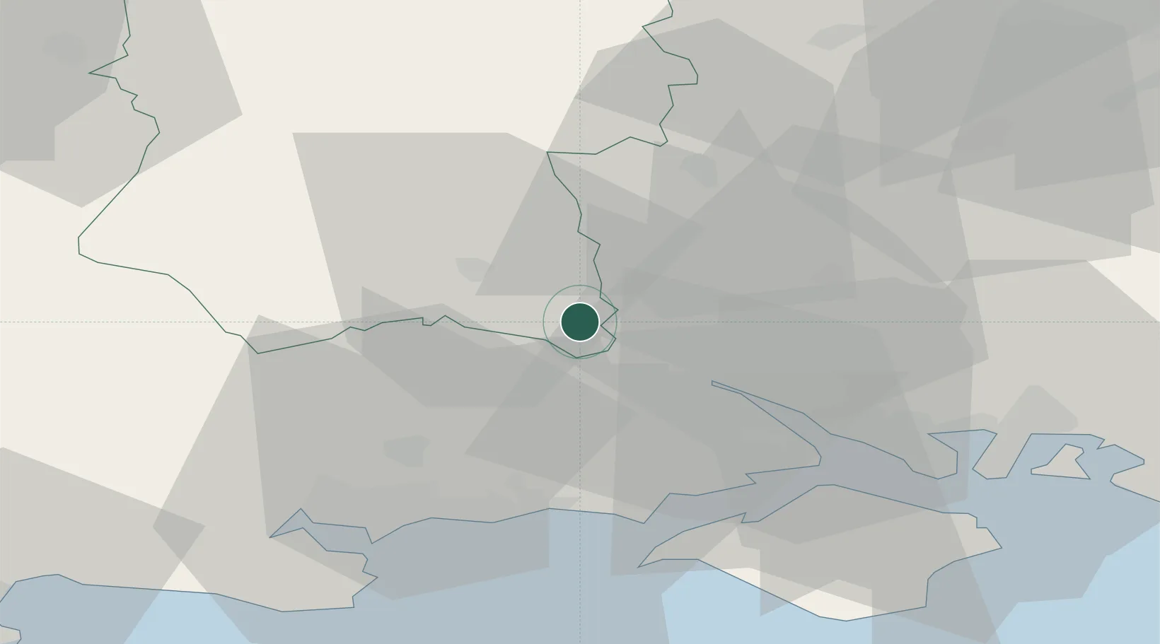
Whiteparish
51.0000°, -1.6500°
1,130
Population
2
Transport functions
Transport Functions
Road
Multimodal
Hub Profile
Place type
District seat
Region
England
Population
1,130
Time zone
Europe/London
Elevation
74 m
Location
Nearby Logistics Neighbours
Cities
- 1North Baddesley16 km
- 2Ashley16 km
- 3Eling16 km
- 4Little Somborne17 km
- 5Southampton18 km
Ports
- 1Southampton21 km
- 2Fawley Marine Terminal30 km
- 3Yarmouth Harbour35 km
- 4Cowes Harbour36 km
- 5Poole Harbour41 km
Airports
- 1MoD Boscombe Down18 km
- 2Southampton Airport21 km
- 3Bournemouth Airport28 km
- 4Lasham Airfield48 km
- 5RAF Odiham56 km
Trade Zones
DatabookThe Record of Consolidated Knowledge
United Kingdom beyond logistics?