Transport Functions
Road
Multimodal
Hub Profile
Place type
Populated place
Region
England
Time zone
Europe/London
Elevation
54 m
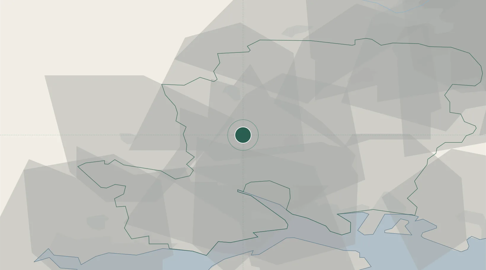
Location
Nearby Logistics Neighbours
Cities
- 1Ashley2 km
- 2North Baddesley13 km
- 3Colden Common13 km
- 4Whiteparish17 km
- 5Whitchurch18 km
Ports
- 1Southampton21 km
- 2Fawley Marine Terminal31 km
- 3Cowes Harbour37 km
- 4Portsmouth Harbour40 km
- 5Yarmouth Harbour43 km
Airports
- 1Southampton Airport16 km
- 2MoD Boscombe Down22 km
- 3Lasham Airfield31 km
- 4RAF Odiham39 km
- 5Bournemouth Airport43 km
Trade Zones
DatabookThe Record of Consolidated Knowledge
United Kingdom beyond logistics?