Channel & Berth Profile
Pilotage, Tugs & Services
Pilotage compulsoryYES
Pilotage availableYES
Tug assistanceNO
Salvage tugsNO
Potable waterYES
Diesel bunkersYES
MedicalYES
Facilities & Capabilities
Container—
Ro-Ro—
Liquid bulk—
Dry bulk—
Oil terminal—
Break bulk—
Dry dock—
RepairsNO
BunkeringYES
Rail link—
Dangerous cargo—
ISPS security—
Harbour Specifications
Harbour size
Small
Harbour type
Coastal (Tide Gates)
Shelter
Good
Water body
English Channel; North Atlantic Ocean
Tidal range
2 m
Overhead limit
No
Pilotage
Yes
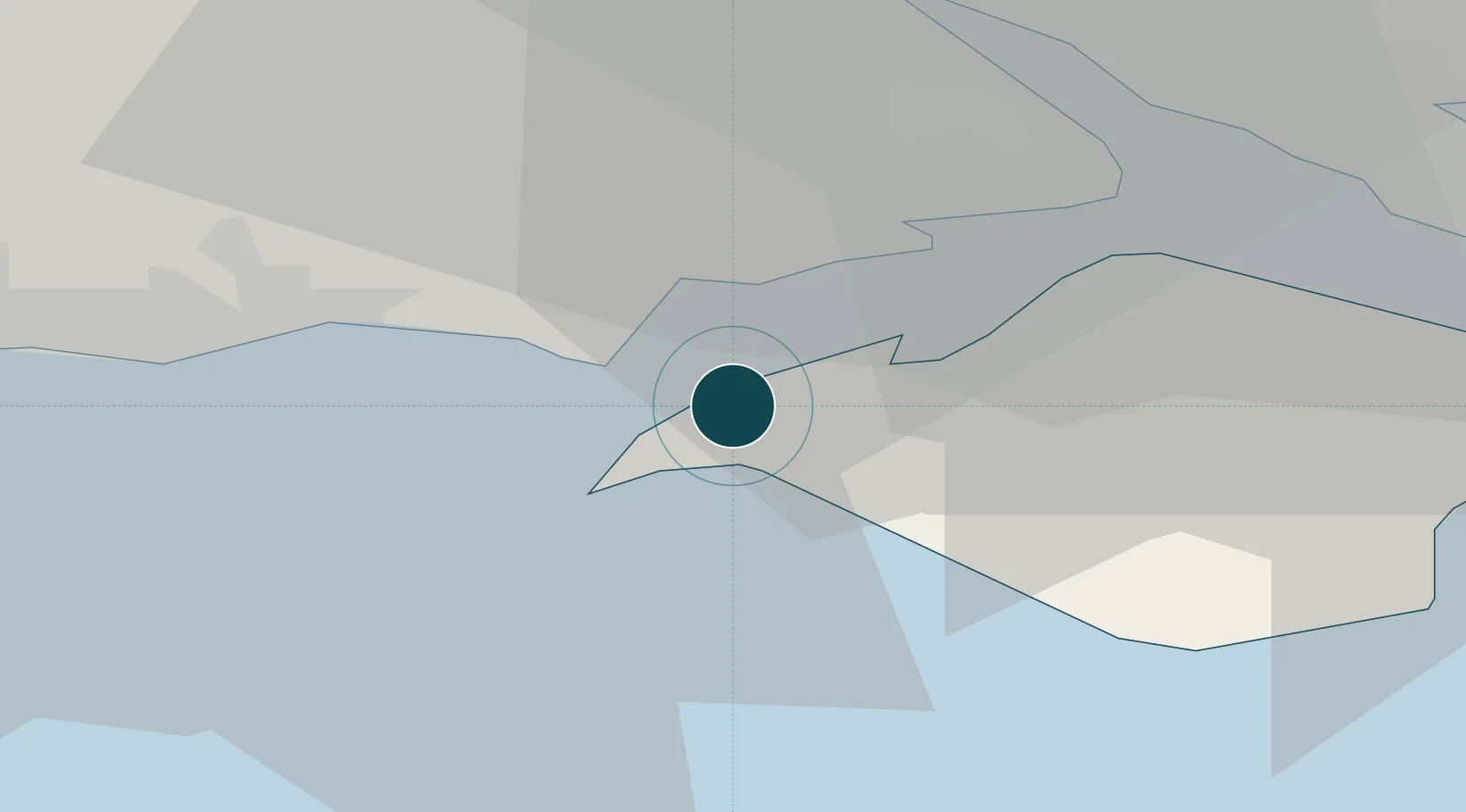
Location
Nearby Logistics Neighbours
Ports
- 1Cowes Harbour16 km
- 2Fawley Marine Terminal18 km
- 3Southampton23 km
- 4Portsmouth Harbour30 km
- 5Poole Harbour32 km
Cities
- 1Freshwater4 km
- 2Keyhaven5 km
- 3Milford-on-Sea6 km
- 4Newtown7 km
- 5Brighstone11 km
Airports
- 1Bournemouth Airport26 km
- 2Southampton Airport30 km
- 3MoD Boscombe Down53 km
- 4Lasham Airfield63 km
- 5RAF Odiham71 km
Trade Zones
DatabookThe Record of Consolidated Knowledge
United Kingdom beyond logistics?