UN/LOCODE hub · United Kingdom
GBZCK
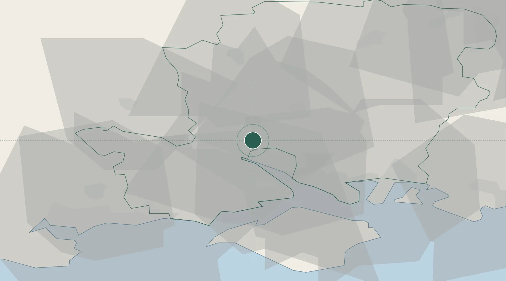
North Baddesley
50.9667°, -1.4333°
6,823
Population
1
Transport functions
Transport Functions
Multimodal
Hub Profile
Place type
Populated place
Region
England
Population
6,823
Time zone
Europe/London
Elevation
43 m
Location
Nearby Logistics Neighbours
Cities
- 1Southampton6 km
- 2Eling8 km
- 3Colden Common9 km
- 4Marchwood9 km
- 5Ashley11 km
Ports
- 1Southampton8 km
- 2Fawley Marine Terminal18 km
- 3Cowes Harbour24 km
- 4Portsmouth Harbour30 km
- 5Yarmouth Harbour30 km
Airports
- 1Southampton Airport6 km
- 2MoD Boscombe Down30 km
- 3Bournemouth Airport35 km
- 4Lasham Airfield37 km
- 5RAF Odiham45 km
Trade Zones
DatabookThe Record of Consolidated Knowledge
United Kingdom beyond logistics?