Transport Functions
Port
Road
Hub Profile
Place type
Populated place
Region
England
Time zone
Europe/London
Elevation
48 m
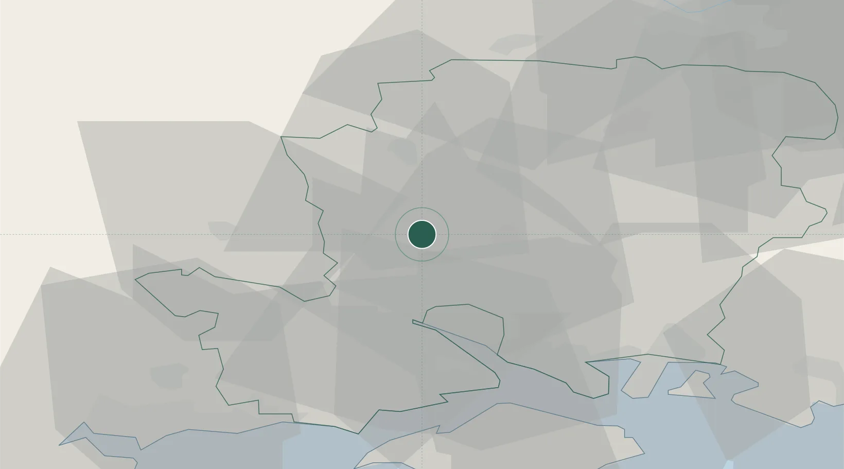
Location
Nearby Logistics Neighbours
Cities
- 1Little Somborne2 km
- 2North Baddesley11 km
- 3Colden Common12 km
- 4Whiteparish16 km
- 5Southampton17 km
Ports
- 1Southampton19 km
- 2Fawley Marine Terminal29 km
- 3Cowes Harbour35 km
- 4Portsmouth Harbour39 km
- 5Yarmouth Harbour41 km
Airports
- 1Southampton Airport15 km
- 2MoD Boscombe Down23 km
- 3Lasham Airfield32 km
- 4RAF Odiham40 km
- 5Bournemouth Airport42 km
Trade Zones
DatabookThe Record of Consolidated Knowledge
United Kingdom beyond logistics?