UN/LOCODE hub · United Kingdom
GBSOU
Southampton
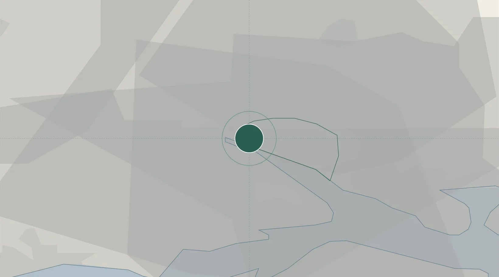
50.9166°, -1.4325°
269,781
Population
2
Transport functions
1
Container terminals
Transport Functions
Port
Airport
Hub Profile
Place type
Provincial seat
Region
England
Population
269,781
Time zone
Europe/London
Elevation
19 m
Logistics facilities
23
Container terminals
1
Location
Nearby Logistics Neighbours
Cities
- 1Marchwood4 km
- 2Eling4 km
- 3North Baddesley6 km
- 4Beaulieu11 km
- 5Colden Common12 km
Ports
- 1Fawley Marine Terminal13 km
- 2Cowes Harbour19 km
- 3Yarmouth Harbour25 km
- 4Portsmouth Harbour27 km
- 5Poole Harbour45 km
Airports
- 1Southampton Airport7 km
- 2Bournemouth Airport32 km
- 3MoD Boscombe Down34 km
- 4Lasham Airfield41 km
- 5RAF Odiham49 km
Trade Zones
DatabookThe Record of Consolidated Knowledge
United Kingdom beyond logistics?