Channel & Berth Profile
Pilotage, Tugs & Services
Pilotage compulsoryYES
Tug assistanceYES
Salvage tugsYES
Potable waterYES
Diesel bunkersYES
MedicalYES
Facilities & Capabilities
Container—
Ro-Ro—
Liquid bulk—
Dry bulk—
Oil terminal—
Break bulk—
Dry dock—
RepairsNO
BunkeringYES
Rail linkYES
Dangerous cargo—
ISPS security—
Harbour Specifications
Harbour size
Small
Harbour type
River (Natural)
Shelter
Fair
Water body
English Channel; North Atlantic Ocean
Tidal range
5 m
Pilotage
Yes
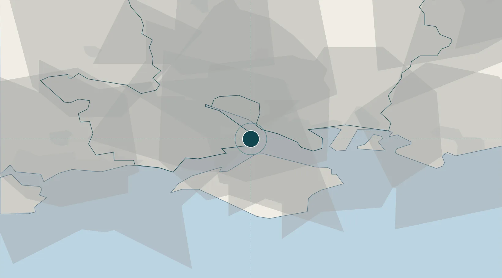
Location
Nearby Logistics Neighbours
Ports
- 1Cowes Harbour6 km
- 2Southampton10 km
- 3Portsmouth Harbour17 km
- 4Yarmouth Harbour18 km
- 5Poole Harbour46 km
Cities
- 1Beaulieu7 km
- 2Park Gate7 km
- 3Burridge9 km
- 4Marchwood10 km
- 5Southampton13 km
Airports
- 1Southampton Airport15 km
- 2Bournemouth Airport36 km
- 3Lasham Airfield46 km
- 4MoD Boscombe Down47 km
- 5RAF Odiham54 km
Trade Zones
DatabookThe Record of Consolidated Knowledge
United Kingdom beyond logistics?