Seaport · United Kingdom
Poole HarbourGBPOO
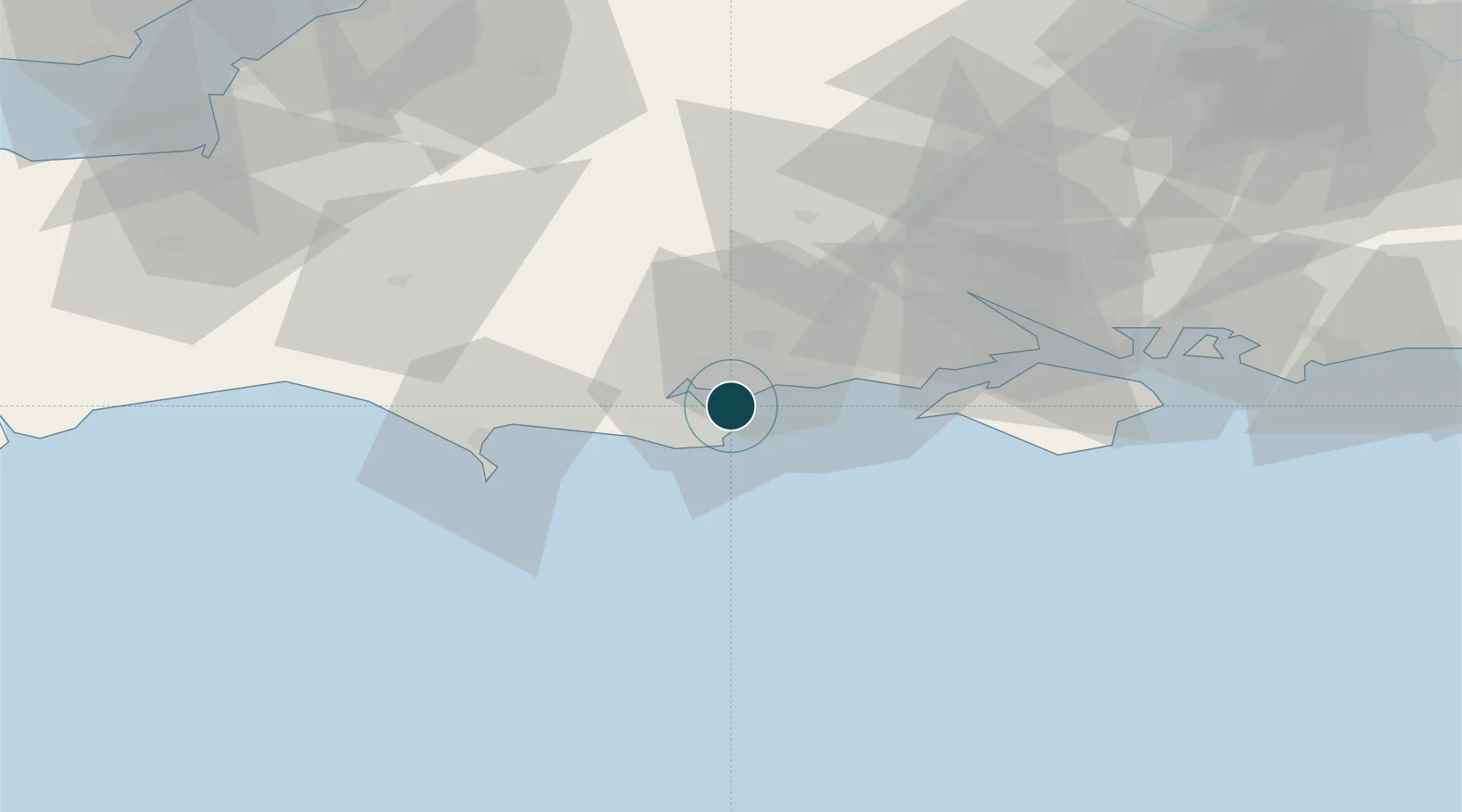
50.6833°, -1.9500°
4.9 m
Channel depth
9.4
Port liner connectivity
Channel & Berth Profile
Pilotage, Tugs & Services
Pilotage compulsoryYES
Pilotage availableYES
Pilotage advisableYES
Tug assistanceYES
Salvage tugsNO
Potable waterYES
Diesel bunkersYES
MedicalYES
Garbage disposalYES
Facilities & Capabilities
Container—
Ro-Ro—
Liquid bulk—
Dry bulk—
Oil terminal—
Break bulk—
Dry dock—
RepairsNO
BunkeringYES
Rail linkYES
Dangerous cargo—
ISPS security—
Harbour Specifications
Harbour size
Small
Harbour type
River (Natural)
Water body
English Channel; North Atlantic Ocean
Tidal range
2 m
Overhead limit
Yes
Pilotage
Yes
Liner Connectivity
9.4
PLSCI
Port Liner Shipping Connectivity Index for Poole Harbour, as published by UNCTAD for the latest available quarter. Higher values indicate stronger scheduled liner-shipping integration.
Shown relative to the highest per-port PLSCI in the dataset (1,657.9).
Location
Nearby Logistics Neighbours
Ports
- 1Yarmouth Harbour32 km
- 2Portland Harbour36 km
- 3Weymouth Harbour36 km
- 4Southampton46 km
- 5Fawley Marine Terminal46 km
Cities
- 1Studland6 km
- 2Bournemouth7 km
- 3Swanage8 km
- 4Lytchett Minster9 km
- 5Furzebrook10 km
Airports
- 1Bournemouth Airport13 km
- 2Southampton Airport51 km
- 3MoD Boscombe Down54 km
- 4RNAS Yeovilton60 km
- 5Lasham Airfield85 km
Trade Zones
DatabookThe Record of Consolidated Knowledge
United Kingdom beyond logistics?