UN/LOCODE hub · United Kingdom
GBEIN

Eling

50.9000°, -1.4833°
1
Transport functions

Transport Functions

Port
UN/LOCODE

Hub Profile

Place type
Populated place
GeoNames
Region
England
GeoNames
Time zone
Europe/London
GeoNames
Elevation
22 m
GeoNames

Location

Location of GBEIN
Natural Earth 10m (public domain) · England · GBEIN · 50.90, -1.48GoogleOSMYandex

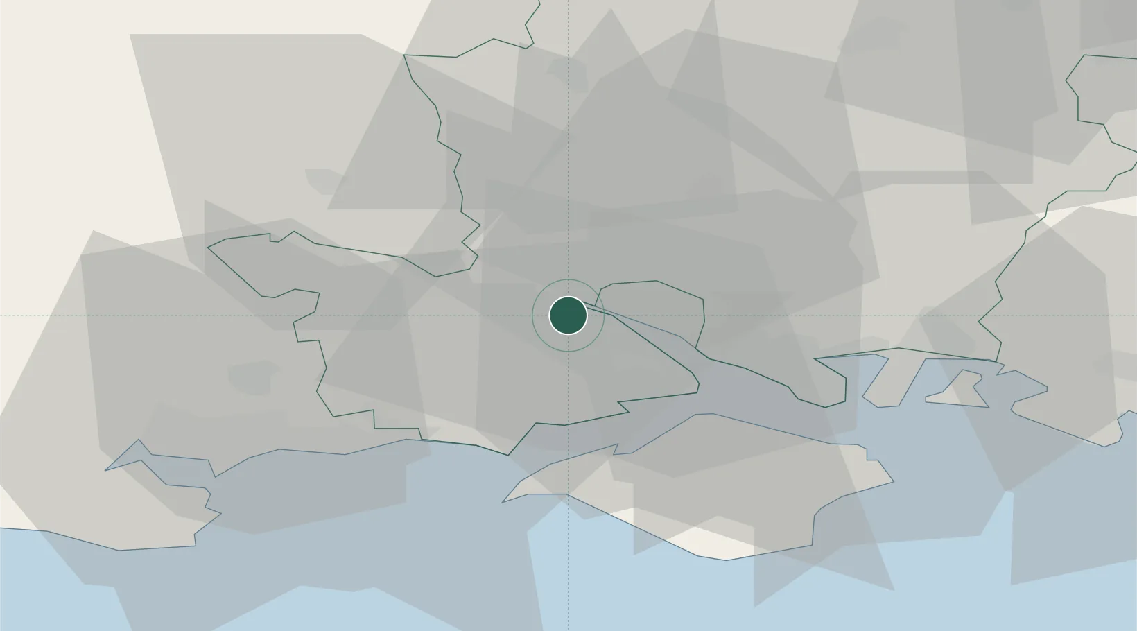
Nearby Logistics Neighbours

Cities
  1. 1Marchwood4 km
  2. 2Southampton4 km
  3. 3North Baddesley8 km
  4. 4Beaulieu10 km
  5. 5Sway15 km
Nearest neighbours — logibook spatial index (haversine) over the source coordinates
Ports
  1. 1Southampton6 km
  2. 2Fawley Marine Terminal14 km
  3. 3Cowes Harbour20 km
  4. 4Yarmouth Harbour22 km
  5. 5Portsmouth Harbour29 km
Nearest neighbours — logibook spatial index (haversine) over the source coordinates
Airports
  1. 1Southampton Airport11 km
  2. 2Bournemouth Airport28 km
  3. 3MoD Boscombe Down34 km
  4. 4Lasham Airfield45 km
  5. 5RAF Odiham53 km
Nearest neighbours — logibook spatial index (haversine) over the source coordinates
Trade Zones
  1. 1Southampton Free Zone4 km
  2. 2EZ³ Enterprise Zone26 km
  3. 3Solent Enterprise Zone29 km
  4. 4Dorset Innovation Park60 km
  5. 5Thames Valley Business Growth Hub Berkshire77 km
Nearest neighbours — logibook spatial index (haversine) over the source coordinates
DatabookThe Record of Consolidated Knowledge
United Kingdom beyond logistics?
Browse databook

All Sources

LocationsUN/LOCODE
UN/LOCODE — free
Portsthe NGA World Port Index
Public domain (US gov)
AirportsOurAirports
Public domain
Trade Zonesthe World Bank SEZ database
CC BY 4.0
Trade ZonesOpen Zone Map
CC BY
← United Kingdom locations