Medium airport · United Kingdom
RAF OdihamEGVO
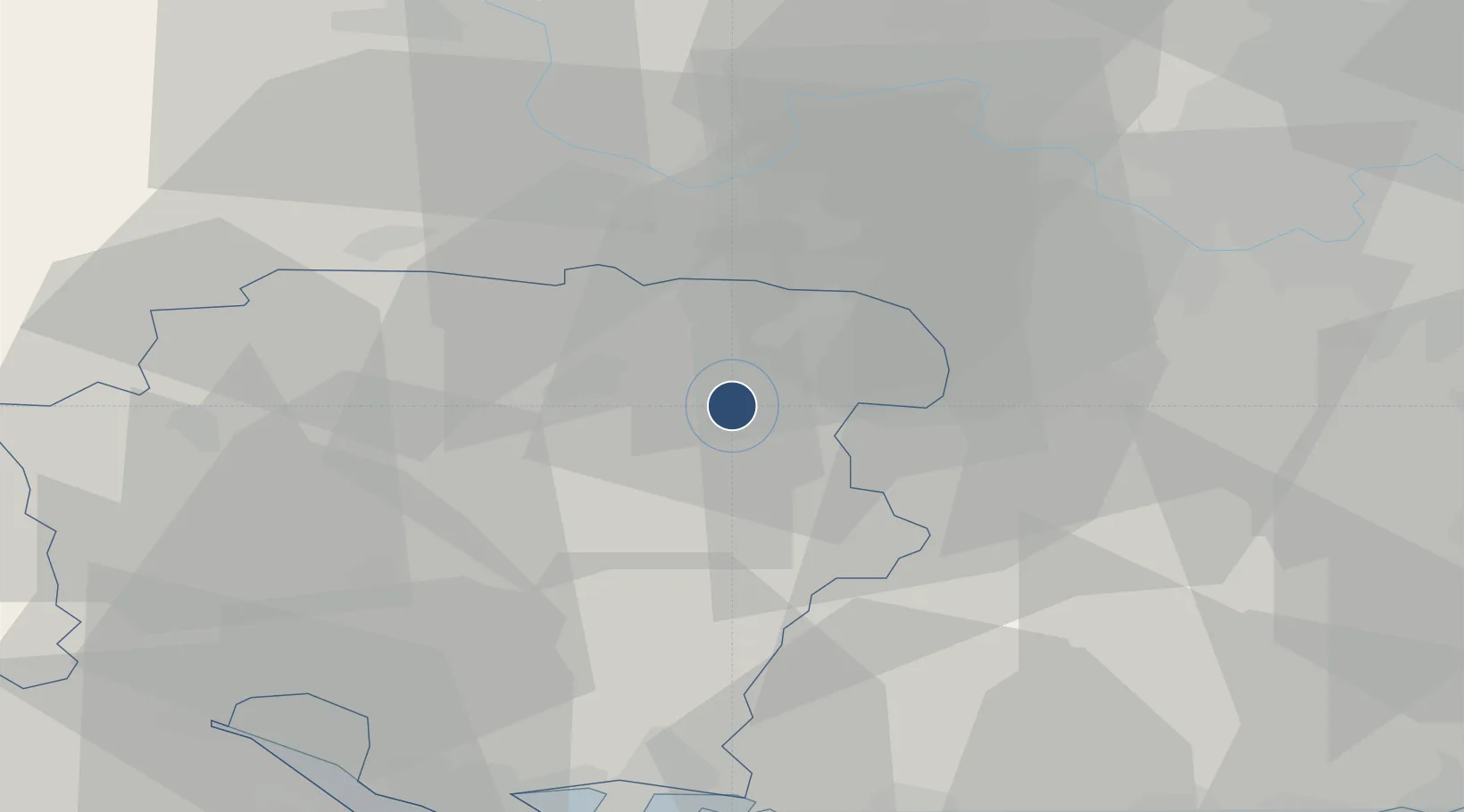
51.2341°, -0.9428°
6,030 ft
Longest runway
1
Runways
405 ft
Elevation
Runway & Layout

Radio Frequencies
ATIS
379.37 MHz
TWR
122.1 MHz
TWR
257.8 MHz
TWR
258.72 MHz
GND
24.102 MHz
APP
131.3 MHz
APP
234.35 MHz
INFO
122.1 MHz
FIS
MISC
125.25 MHz
FARNBOROUGH LARS
RDR
123.3 MHz
Talkdown
RDR
278.22 MHz
Talkdown
RDR
385.4 MHz
Talkdown
RDR
386.77 MHz
Navaids
ODH TACAN Odiham 109.60 MHz
Runways · 1
| Runway | Dimensions | Surface | True heading | Lit |
|---|---|---|---|---|
| 09/27 | 6,030 × 141ft | Asphalt | 093° | ✓ |
Airport Specifications
IATA code
ODH
ICAO code
EGVO
Airport class
Medium airport
Scheduled service
No
Runway surface
Asphalt
Served city
Hook, Hampshire
Location
Nearby Logistics Neighbours
Airports
- 1Lasham Airfield8 km
- 2Blackbushe Airport12 km
- 3Farnborough Airport13 km
- 4London Heathrow Airport43 km
- 5Southampton Airport43 km
Cities
- 1Upper Froyle6 km
- 2Kenley10 km
- 3Chineham10 km
- 4Hook11 km
- 5Peasmarsh11 km
Ports
- 1Southampton49 km
- 2Portsmouth Harbour50 km
- 3Fawley Marine Terminal54 km
- 4Cowes Harbour58 km
- 5Littlehampton Harbour58 km
Trade Zones
DatabookThe Record of Consolidated Knowledge
United Kingdom beyond logistics?