Economic Revitalization Project · United Kingdom

EZ³ Enterprise Zone Active
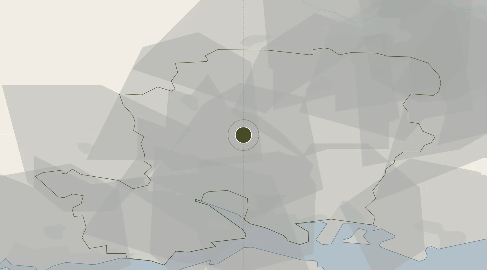
51.1123°, -1.3211°
103 ha
Zone area
24.2 km
Nearest port
18.2 km
Nearest airport

Gateway access

Nearest neighbours — logibook spatial index (haversine) over the source coordinates

Zone profile

Zone type
Economic Revitalization Project
Open Zone Map
Region
Hampshire
Open Zone Map
Status
Active
Open Zone Map
Management
Public-Private Partnership
Open Zone Map
Operator
Enterprise M3 Local Enterprise Partnership
Open Zone Map
Legal framework
Local Government, Planning and Land Act 1980
Open Zone Map

Location

Location of ozm-4690
Natural Earth 10m (public domain) · Hampshire · ozm-4690 · 51.11, -1.32GoogleOSMYandex

Nearby Logistics Neighbours

Ports
  1. 1Southampton24 km
  2. 2Fawley Marine Terminal33 km
  3. 3Portsmouth Harbour38 km
  4. 4Cowes Harbour39 km
  5. 5Yarmouth Harbour48 km
Nearest neighbours — logibook spatial index (haversine) over the source coordinates
Airports
  1. 1Southampton Airport18 km
  2. 2Lasham Airfield22 km
  3. 3RAF Odiham30 km
  4. 4MoD Boscombe Down30 km
  5. 5Blackbushe Airport41 km
Nearest neighbours — logibook spatial index (haversine) over the source coordinates
Cities
  1. 1Little Somborne10 km
  2. 2Ashley10 km
  3. 3Alresford12 km
  4. 4Colden Common13 km
  5. 5Whitchurch14 km
Nearest neighbours — logibook spatial index (haversine) over the source coordinates
Trade Zones
  1. 1Southampton Free Zone24 km
  2. 2Solent Enterprise Zone35 km
  3. 3Thames Valley Business Growth Hub Berkshire52 km
  4. 4Science Vale Oxfordshire Enterprise Zone58 km
  5. 5Dorset Innovation Park81 km
Nearest neighbours — logibook spatial index (haversine) over the source coordinates
DatabookThe Record of Consolidated Knowledge
United Kingdom beyond logistics?
Browse databook

All Sources

Trade ZonesOpen Zone Map
CC BY
Portsthe NGA World Port Index
Public domain (US gov)
AirportsOurAirports
Public domain
LocationsUN/LOCODE
UN/LOCODE — free
← United Kingdom trade zones