Seaport · United Kingdom
SouthamptonGBSOU
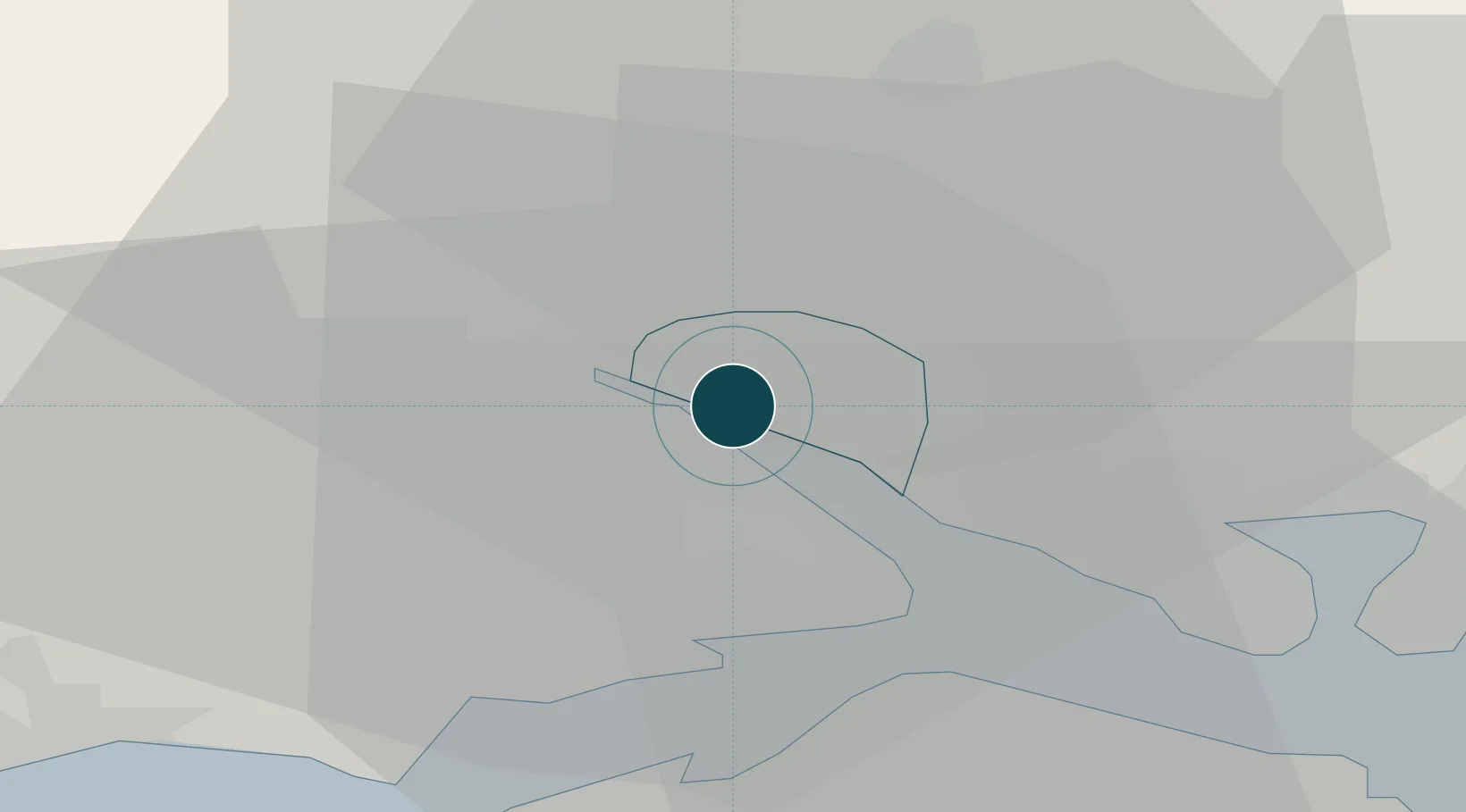
50.9000°, -1.4000°
12.5 m
Channel depth
1
Container terminals
313.3
Port liner connectivity
Channel & Berth Profile
Pilotage, Tugs & Services
Pilotage compulsoryYES
Pilotage availableYES
Pilotage advisableYES
Tug assistanceYES
Shore powerYES
Potable waterYES
Diesel bunkersYES
MedicalYES
Facilities & Capabilities
Container—
Ro-Ro—
Liquid bulk—
Dry bulk—
Oil terminal—
Break bulk—
Dry dockNO
RepairsNO
BunkeringYES
Rail linkYES
Dangerous cargo—
ISPS security—
Harbour Specifications
Harbour size
Large
Harbour type
River (Basins)
Shelter
Excellent
Water body
English Channel; North Atlantic Ocean
Tidal range
5 m
Pilotage
Yes
Liner Connectivity
313.3
PLSCI
Port Liner Shipping Connectivity Index for Southampton, as published by UNCTAD for the latest available quarter. Higher values indicate stronger scheduled liner-shipping integration.
Shown relative to the highest per-port PLSCI in the dataset (1,657.9).
Location
Container Terminals · 1
DP WORLD SOUTHAMPTON
DPWS DP WORLD
Nearby Logistics Neighbours
Ports
- 1Fawley Marine Terminal10 km
- 2Cowes Harbour16 km
- 3Yarmouth Harbour23 km
- 4Portsmouth Harbour24 km
- 5Poole Harbour46 km
Cities
- 1Marchwood3 km
- 2Eling6 km
- 3North Baddesley8 km
- 4Beaulieu10 km
- 5Park Gate10 km
Airports
- 1Southampton Airport6 km
- 2Bournemouth Airport34 km
- 3MoD Boscombe Down37 km
- 4Lasham Airfield41 km
- 5RAF Odiham49 km
Trade Zones
DatabookThe Record of Consolidated Knowledge
United Kingdom beyond logistics?