Medium airport · United Kingdom
Lasham AirfieldEGHL
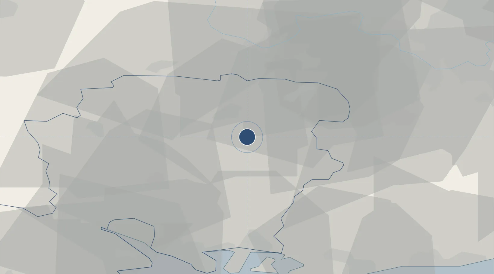
51.1874°, -1.0317°
5,896 ft
Longest runway
1
Runways
618 ft
Elevation
Runway & Layout

Radio Frequencies
APP
125.25 MHz
FARNBOROUGH APP
MISC
129.9 MHz
GLIDER OPR
Runways · 1
| Runway | Dimensions | Surface | True heading | Lit |
|---|---|---|---|---|
| 09/27 | 5,896 × 131ft | Asphalt | 086° | — |
Airport Specifications
ICAO code
EGHL
Airport class
Medium airport
Scheduled service
No
Runway surface
Asphalt
Served city
Alton, Hampshire
Location
Nearby Logistics Neighbours
Airports
- 1RAF Odiham8 km
- 2Blackbushe Airport20 km
- 3Farnborough Airport20 km
- 4Southampton Airport35 km
- 5RAF Benson48 km
Cities
- 1Upper Froyle8 km
- 2Chineham11 km
- 3Ropley14 km
- 4Alresford14 km
- 5Kenley15 km
Ports
- 1Southampton41 km
- 2Portsmouth Harbour43 km
- 3Fawley Marine Terminal46 km
- 4Cowes Harbour50 km
- 5Littlehampton Harbour57 km
Trade Zones
DatabookThe Record of Consolidated Knowledge
United Kingdom beyond logistics?