Medium airport · United Kingdom
Southampton AirportEGHI
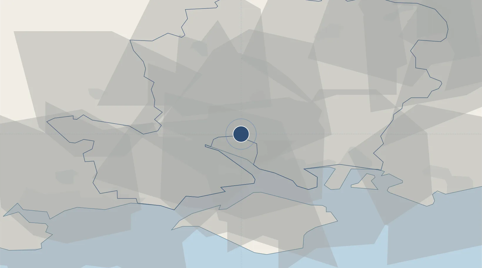
50.9503°, -1.3568°
6,191 ft
Longest runway
1
Runways
44 ft
Elevation
Runway & Layout

Radio Frequencies
ATIS
130.88 MHz
Southampton Information
TWR
118.205 MHz
Southampton Tower
APP
120.23 MHz
Solent Radar
APP
122.73 MHz
Southampton Approach
OPS
130.65 MHz
Navaids
EAS NDB Southampton 392 kHz
SAM VOR-DME Southampton 113.35 MHz
Runways · 1
| Runway | Dimensions | Surface | True heading | Lit |
|---|---|---|---|---|
| 02/20 | 6,191 × 119ft | Asphalt | 019° | ✓ |
Airport Specifications
IATA code
SOU
ICAO code
EGHI
Airport class
Medium airport
Scheduled service
Yes
Runway surface
Asphalt
Served city
Southampton
Location
Nearby Logistics Neighbours
Airports
- 1Lasham Airfield35 km
- 2MoD Boscombe Down35 km
- 3Bournemouth Airport39 km
- 4RAF Odiham43 km
- 5Farnborough Airport54 km
Cities
- 1North Baddesley6 km
- 2Colden Common6 km
- 3Southampton7 km
- 4Marchwood9 km
- 5Eling11 km
Ports
- 1Southampton6 km
- 2Fawley Marine Terminal15 km
- 3Cowes Harbour21 km
- 4Portsmouth Harbour25 km
- 5Yarmouth Harbour30 km
Trade Zones
DatabookThe Record of Consolidated Knowledge
United Kingdom beyond logistics?