Specialized Zone · United Kingdom

Science Vale Oxfordshire Enterprise Zone Active
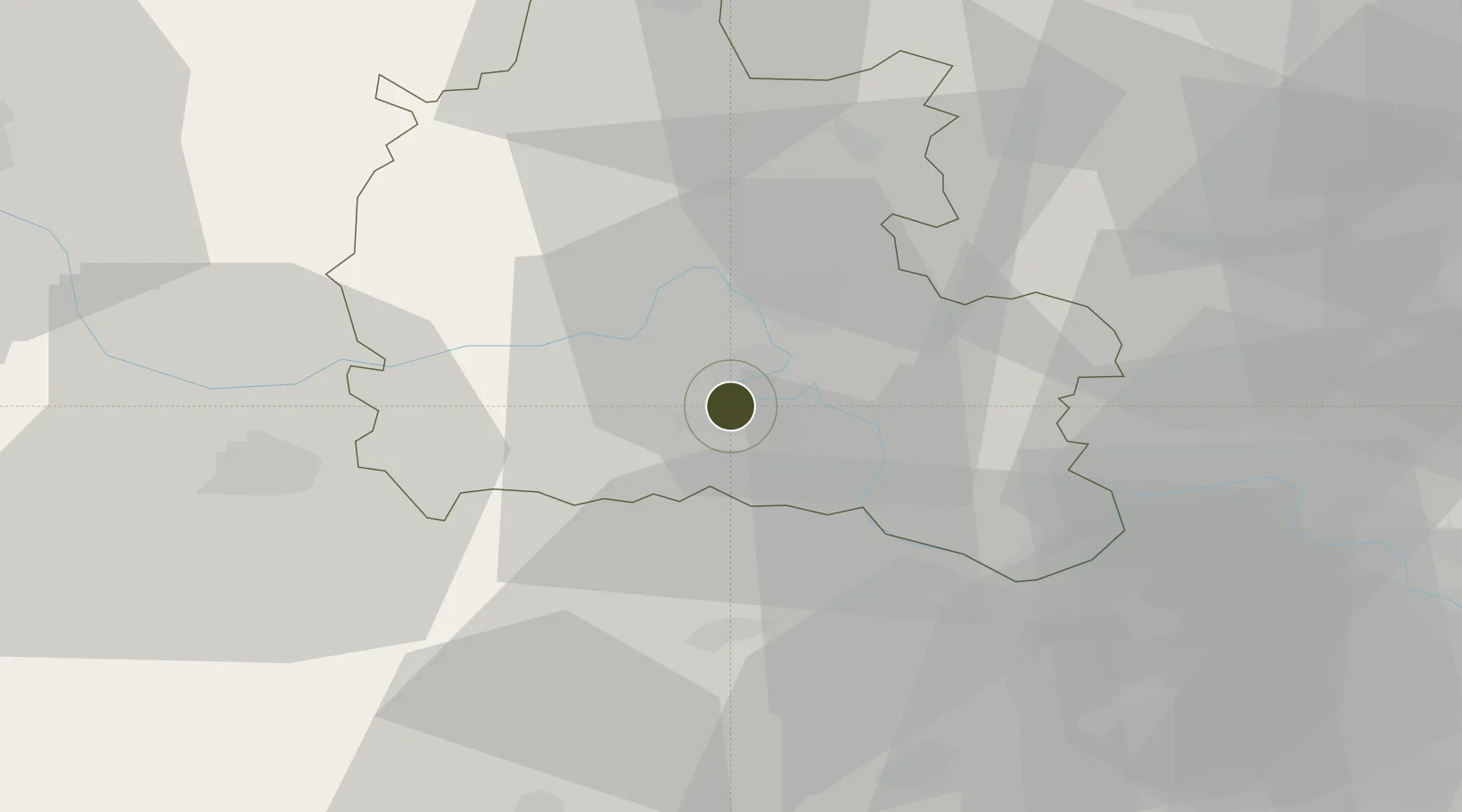
51.6367°, -1.2854°
113 ha
Zone area
82.3 km
Nearest port
13.3 km
Nearest airport

Gateway access

Nearest neighbours — logibook spatial index (haversine) over the source coordinates

Zone profile

Zone type
Specialized Zone
Open Zone Map
Specialization
Tech
Open Zone Map
Region
Oxfordshire
Open Zone Map
Status
Active
Open Zone Map
Management
Public-Private Partnership
Open Zone Map
Operator
Local Enterprise Partnership for Oxfordshire
Open Zone Map
Legal framework
Local Government, Planning and Land Act 1980
Open Zone Map

Location

Location of ozm-4719
Natural Earth 10m (public domain) · Oxfordshire · ozm-4719 · 51.64, -1.29GoogleOSMYandex

Nearby Logistics Neighbours

Ports
  1. 1Southampton82 km
  2. 2Sharpness83 km
  3. 3London85 km
  4. 4Fawley Marine Terminal91 km
  5. 5Portsmouth Harbour94 km
Nearest neighbours — logibook spatial index (haversine) over the source coordinates
Airports
  1. 1RAF Benson13 km
  2. 2London Oxford Airport22 km
  3. 3RAF Brize Norton24 km
  4. 4RAF Fairford35 km
  5. 5Blackbushe Airport46 km
Nearest neighbours — logibook spatial index (haversine) over the source coordinates
Cities
  1. 1Steventon3 km
  2. 2Blewbury10 km
  3. 3Standlake13 km
  4. 4Compton13 km
  5. 5Cassington17 km
Nearest neighbours — logibook spatial index (haversine) over the source coordinates
Trade Zones
  1. 1Aylesbury Vale38 km
  2. 2Thames Valley Business Growth Hub Berkshire44 km
  3. 3Enviro-Tech Hertfordshire Enterprise Zone55 km
  4. 4EZ³ Enterprise Zone58 km
  5. 5Northampton Waterside Enterprise Zone72 km
Nearest neighbours — logibook spatial index (haversine) over the source coordinates
DatabookThe Record of Consolidated Knowledge
United Kingdom beyond logistics?
Browse databook

All Sources

Trade ZonesOpen Zone Map
CC BY
Portsthe NGA World Port Index
Public domain (US gov)
AirportsOurAirports
Public domain
LocationsUN/LOCODE
UN/LOCODE — free
← United Kingdom trade zones