Transport Functions
Port
Hub Profile
Place type
Populated place
Region
Scotland
Population
900
Time zone
Europe/London
Elevation
45 m
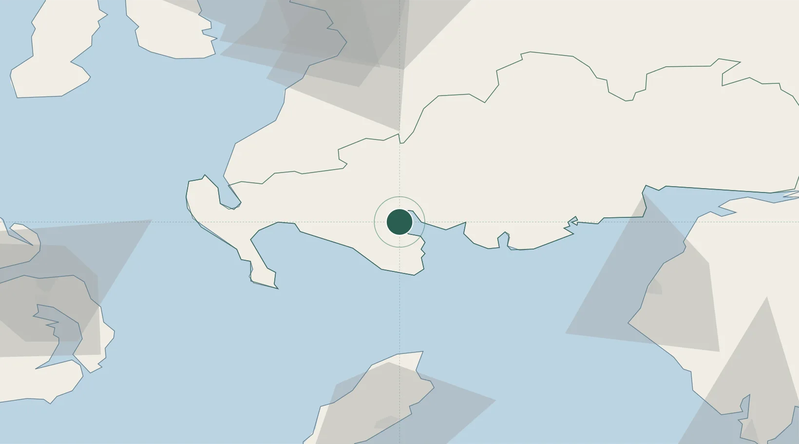
Location
Nearby Logistics Neighbours
Cities
- 1Garlieston10 km
- 2Port William15 km
- 3Isle of Whithorn19 km
- 4Kirkcudbright25 km
- 5Glenluce26 km
Ports
- 1Stranraer39 km
- 2Workington61 km
- 3Ramsey61 km
- 4Silloth66 km
- 5Ayr68 km
Airports
- 1Glasgow Prestwick Airport71 km
- 2Isle of Man Airport88 km
- 3George Best Belfast City Airport96 km
- 4Campbeltown Airport102 km
- 5Carlisle Lake District Airport104 km
Trade Zones
DatabookThe Record of Consolidated Knowledge
United Kingdom beyond logistics?