UN/LOCODE hub · United Kingdom
GBPWI
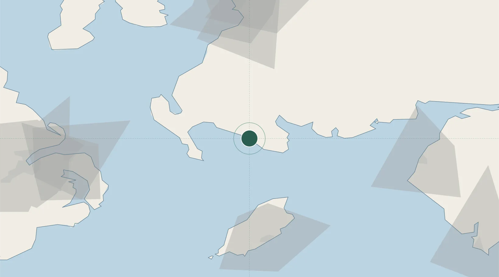
Port William
54.7667°, -4.5833°
466
Population
2
Transport functions
Transport Functions
Port
Road
Hub Profile
Place type
Populated place
Region
Scotland
Population
466
Time zone
Europe/London
Elevation
11 m
Location
Nearby Logistics Neighbours
Cities
- 1Garlieston14 km
- 2Wigtown15 km
- 3Isle of Whithorn16 km
- 4Glenluce20 km
- 5Port Logan25 km
Ports
- 1Stranraer32 km
- 2Ramsey52 km
- 3Workington65 km
- 4Douglas69 km
- 5Bangor71 km
Airports
- 1Isle of Man Airport76 km
- 2Glasgow Prestwick Airport82 km
- 3George Best Belfast City Airport85 km
- 4Campbeltown Airport102 km
- 5Belfast International Airport106 km
Trade Zones
DatabookThe Record of Consolidated Knowledge
United Kingdom beyond logistics?