Transport Functions
Port
Hub Profile
Place type
Populated place
Region
Scotland
Time zone
Europe/London
Elevation
10 m
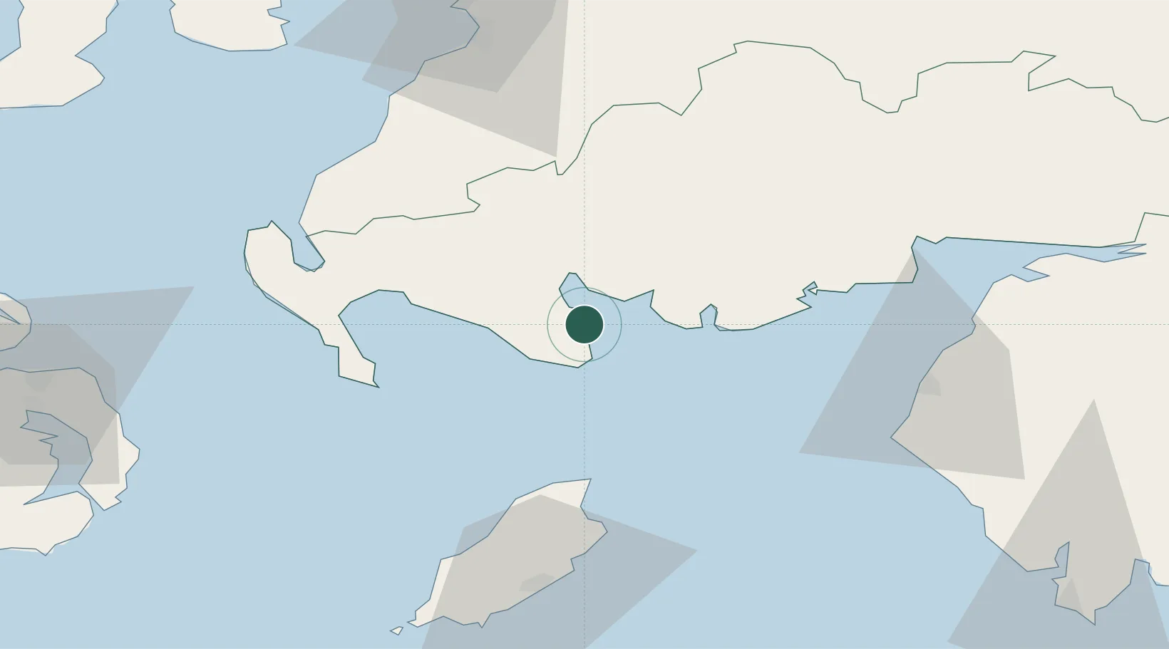
Location
Nearby Logistics Neighbours
Cities
- 1Isle of Whithorn9 km
- 2Wigtown10 km
- 3Port William14 km
- 4Kirkcudbright21 km
- 5Glenluce31 km
Ports
- 1Stranraer45 km
- 2Ramsey52 km
- 3Workington53 km
- 4Silloth63 km
- 5Douglas71 km
Airports
Trade Zones
DatabookThe Record of Consolidated Knowledge
United Kingdom beyond logistics?