UN/LOCODE hub · United Kingdom
GBGLC

Glenluce

54.8667°, -4.8333°
600
Population
2
Transport functions

Transport Functions

Port
Multimodal
UN/LOCODE

Hub Profile

Place type
Populated place
GeoNames
Region
Scotland
GeoNames
Population
600
GeoNames
Time zone
Europe/London
GeoNames
Elevation
23 m
GeoNames

Location

Location of GBGLC
Natural Earth 10m (public domain) · Scotland · GBGLC · 54.87, -4.83GoogleOSMYandex

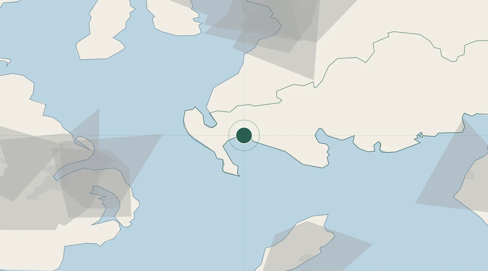
Nearby Logistics Neighbours

Cities
  1. 1Stranraer13 km
  2. 2Cairnryan16 km
  3. 3Loch Ryan Pt18 km
  4. 4Portpatrick18 km
  5. 5Port William20 km
Nearest neighbours — logibook spatial index (haversine) over the source coordinates
Ports
  1. 1Stranraer13 km
  2. 2Kilroot59 km
  3. 3Bangor59 km
  4. 4Larne62 km
  5. 5Ayr68 km
Nearest neighbours — logibook spatial index (haversine) over the source coordinates
Airports
  1. 1George Best Belfast City Airport72 km
  2. 2Glasgow Prestwick Airport72 km
  3. 3Campbeltown Airport83 km
  4. 4Isle of Man Airport88 km
  5. 5Belfast International Airport92 km
Nearest neighbours — logibook spatial index (haversine) over the source coordinates
Trade Zones
  1. 1Prestwick Airport Free Zone73 km
  2. 2Isle of Man Free Zone and Business Park87 km
  3. 3Carlisle Kingmoor Park Enterprise Zone120 km
  4. 4Blackpool Enterprise Zone169 km
  5. 5Hillhouse Enterprise Zone172 km
Nearest neighbours — logibook spatial index (haversine) over the source coordinates
DatabookThe Record of Consolidated Knowledge
United Kingdom beyond logistics?
Browse databook

All Sources

LocationsUN/LOCODE
UN/LOCODE — free
LocationsGeoNames
CC BY 4.0
Portsthe NGA World Port Index
Public domain (US gov)
AirportsOurAirports
Public domain
Trade Zonesthe World Bank SEZ database
CC BY 4.0
Trade ZonesOpen Zone Map
CC BY
← United Kingdom locations