Transport Functions
Port
Road
Hub Profile
Place type
Populated place
Region
Scotland
Time zone
Europe/London
Elevation
8 m
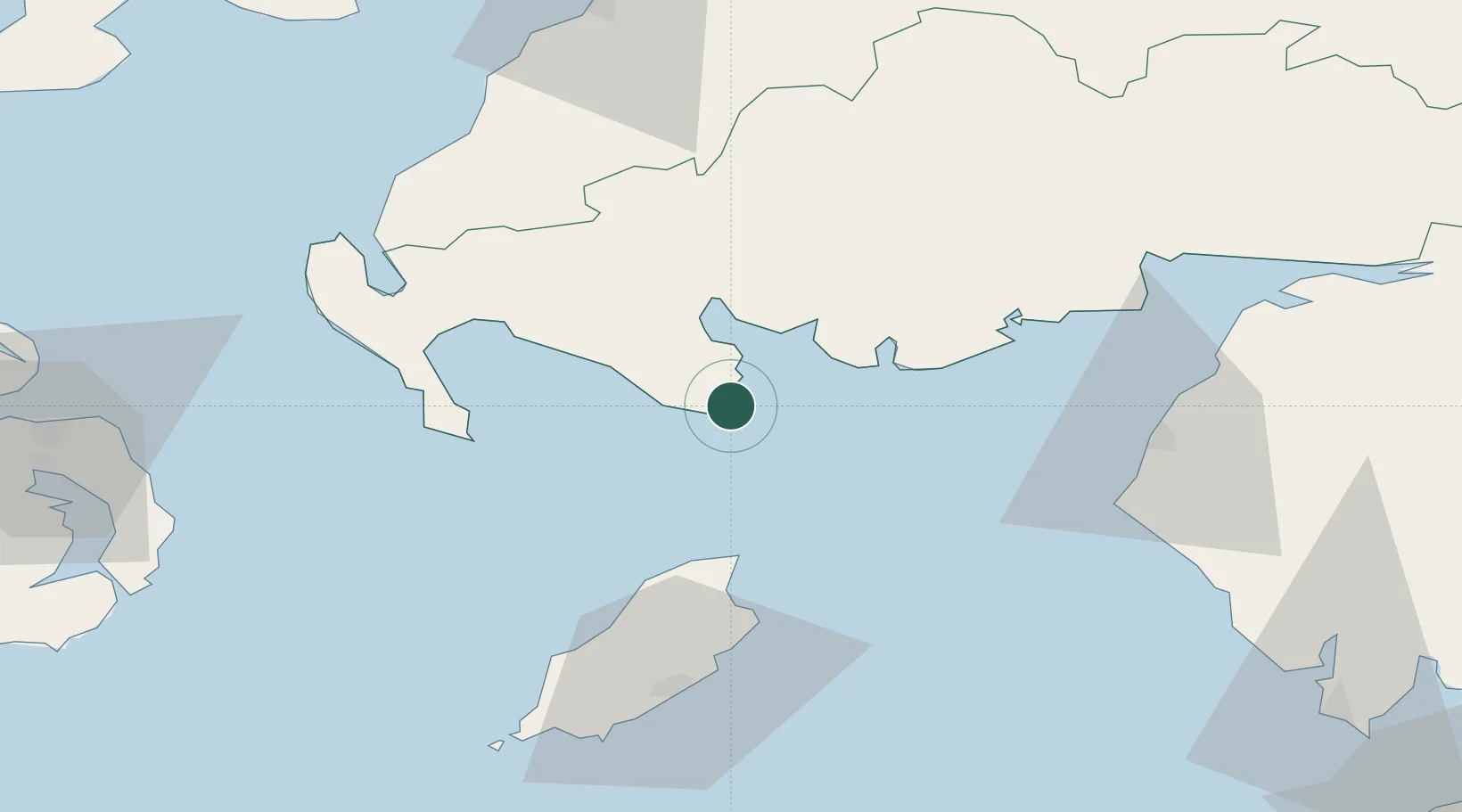
Location
Nearby Logistics Neighbours
Cities
- 1Garlieston9 km
- 2Port William16 km
- 3Wigtown19 km
- 4Kirkcudbright25 km
- 5Glenluce35 km
Ports
- 1Ramsey43 km
- 2Stranraer48 km
- 3Workington50 km
- 4Douglas62 km
- 5Silloth65 km
Airports
Trade Zones
DatabookThe Record of Consolidated Knowledge
United Kingdom beyond logistics?