Transport Functions
Port
Road
Hub Profile
Place type
Populated place
Region
Scotland
Time zone
Europe/London
Elevation
9 m
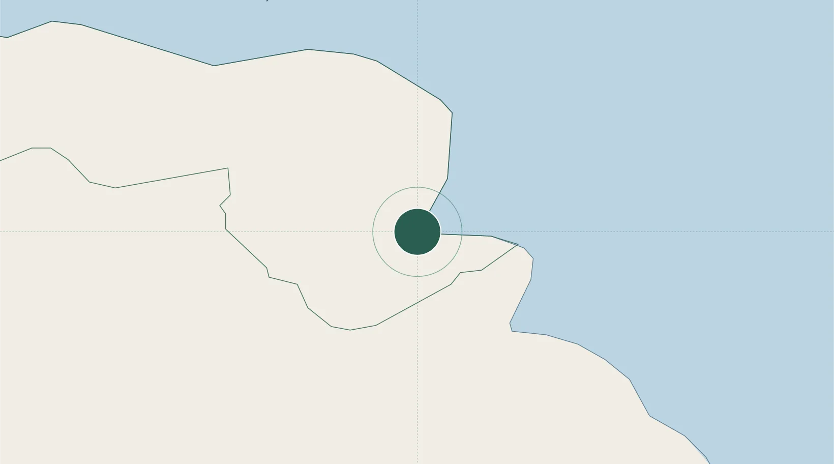
Location
Nearby Logistics Neighbours
Cities
- 1Cushendall2 km
- 2Red Bay3 km
- 3Cushendun8 km
- 4Carnlough10 km
- 5Comber20 km
Ports
- 1Larne30 km
- 2Coleraine39 km
- 3Kilroot43 km
- 4Campbeltown50 km
- 5Belfast51 km
Airports
- 1Belfast International Airport47 km
- 2Campbeltown Airport48 km
- 3George Best Belfast City Airport51 km
- 4Islay Airport70 km
- 5City of Derry Airport70 km
Trade Zones
DatabookThe Record of Consolidated Knowledge
United Kingdom beyond logistics?