Transport Functions
Multimodal
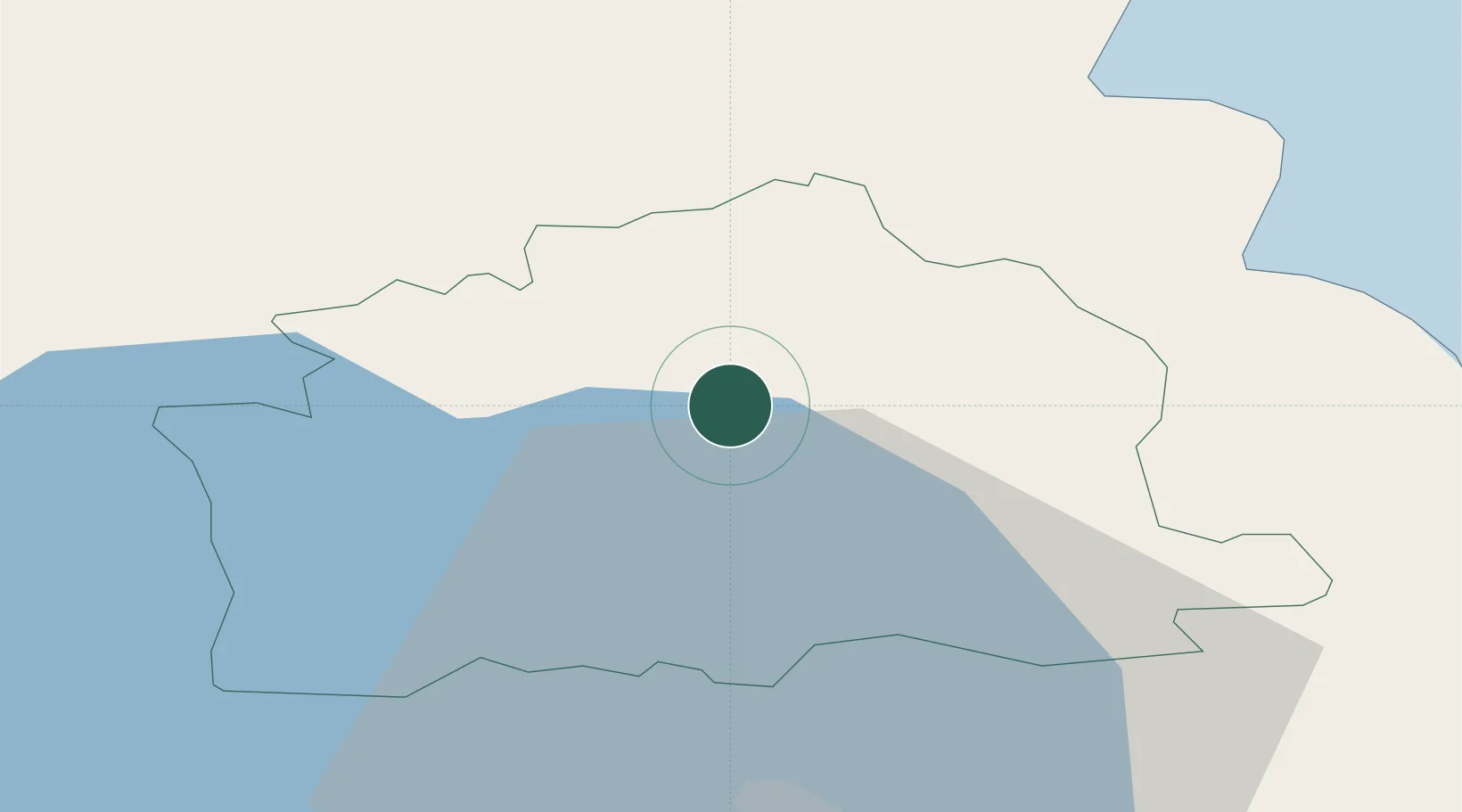
Hub Profile
Place type
Populated place
Region
Northern Ireland
Population
9,190
Time zone
Europe/London
Elevation
8 m
Location
Nearby Logistics Neighbours
Cities
- 1Carnlough17 km
- 2Waterfoot20 km
- 3Red Bay22 km
- 4Cushendall22 km
- 5Cushendun27 km
Airports
- 1Belfast International Airport29 km
- 2George Best Belfast City Airport41 km
- 3City of Derry Airport61 km
- 4Campbeltown Airport68 km
- 5Islay Airport85 km
Trade Zones
DatabookThe Record of Consolidated Knowledge
United Kingdom beyond logistics?