UN/LOCODE hub · United Kingdom
GBCAH
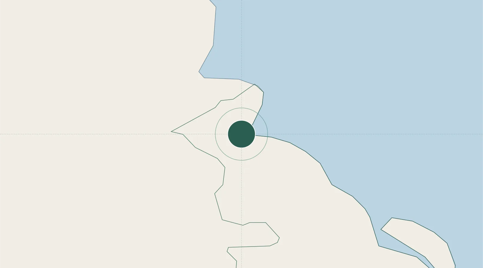
Carnlough
54.9833°, -6.0000°
1,427
Population
2
Transport functions
Transport Functions
Port
Road
Hub Profile
Place type
Populated place
Region
Northern Ireland
Population
1,427
Time zone
Europe/London
Elevation
3 m
Location
Nearby Logistics Neighbours
Cities
- 1Red Bay9 km
- 2Waterfoot10 km
- 3Cushendall12 km
- 4Comber17 km
- 5Cushendun17 km
Airports
- 1Belfast International Airport39 km
- 2George Best Belfast City Airport41 km
- 3Campbeltown Airport54 km
- 4City of Derry Airport74 km
- 5Islay Airport80 km
Trade Zones
DatabookThe Record of Consolidated Knowledge
United Kingdom beyond logistics?