UN/LOCODE hub · United Kingdom
GBRED

Red Bay

55.0667°, -6.0167°
1
Transport functions

Transport Functions

Port
UN/LOCODE

Hub Profile

Region
ANT
GeoNames

Location

Location of GBRED
Natural Earth 10m (public domain) · ANT · GBRED · 55.07, -6.02GoogleOSMYandex

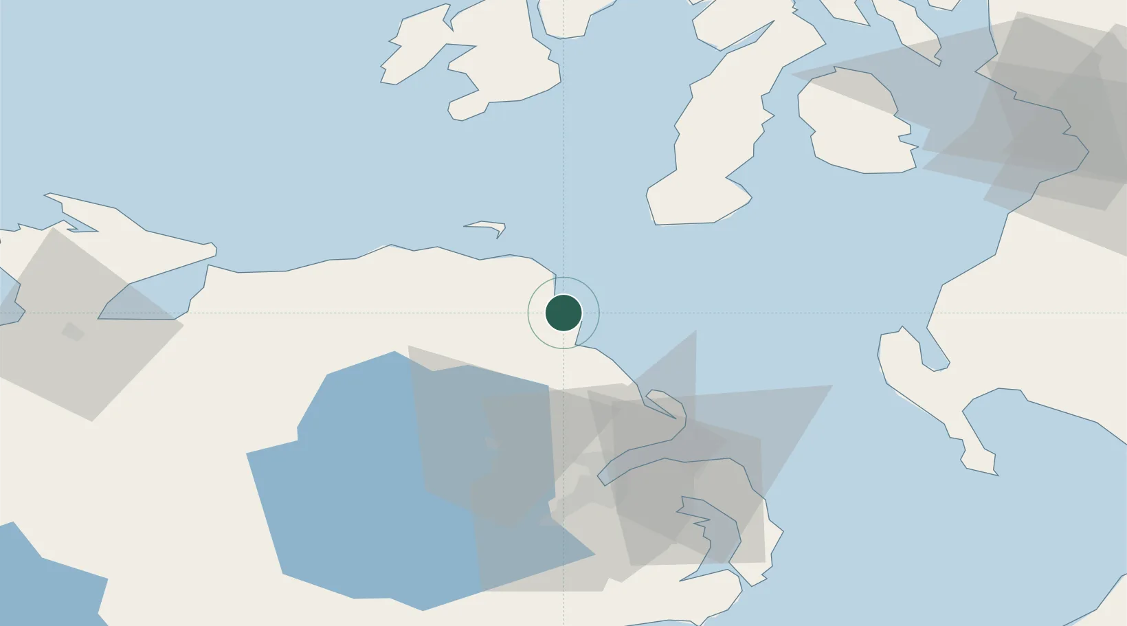
Nearby Logistics Neighbours

Cities
  1. 1Cushendall3 km
  2. 2Waterfoot3 km
  3. 3Cushendun8 km
  4. 4Carnlough9 km
  5. 5Comber22 km
Nearest neighbours — logibook spatial index (haversine) over the source coordinates
Ports
  1. 1Larne28 km
  2. 2Kilroot42 km
  3. 3Coleraine42 km
  4. 4Campbeltown49 km
  5. 5Belfast51 km
Nearest neighbours — logibook spatial index (haversine) over the source coordinates
Airports
  1. 1Campbeltown Airport46 km
  2. 2Belfast International Airport47 km
  3. 3George Best Belfast City Airport51 km
  4. 4Islay Airport70 km
  5. 5City of Derry Airport73 km
Nearest neighbours — logibook spatial index (haversine) over the source coordinates
Trade Zones
  1. 1Prestwick Airport Free Zone102 km
  2. 2Isle of Man Free Zone and Business Park141 km
  3. 3Dublin International Financial Services Centre192 km
  4. 4Carlisle Kingmoor Park Enterprise Zone195 km
  5. 5Blackpool Enterprise Zone241 km
Nearest neighbours — logibook spatial index (haversine) over the source coordinates
DatabookThe Record of Consolidated Knowledge
United Kingdom beyond logistics?
Browse databook

All Sources

LocationsUN/LOCODE
UN/LOCODE — free
Portsthe NGA World Port Index
Public domain (US gov)
AirportsOurAirports
Public domain
Trade Zonesthe World Bank SEZ database
CC BY 4.0
Trade ZonesOpen Zone Map
CC BY
← United Kingdom locations