UN/LOCODE hub · United Kingdom
GBCUS
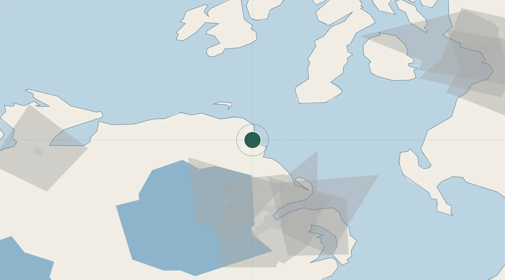
Cushendall
55.0833°, -6.0500°
1,226
Population
2
Transport functions
Transport Functions
Port
Road
Hub Profile
Place type
Populated place
Region
Northern Ireland
Population
1,226
Time zone
Europe/London
Elevation
16 m
Location
Nearby Logistics Neighbours
Ports
- 1Larne31 km
- 2Coleraine40 km
- 3Kilroot44 km
- 4Campbeltown48 km
- 5Belfast53 km
Airports
- 1Campbeltown Airport46 km
- 2Belfast International Airport49 km
- 3George Best Belfast City Airport53 km
- 4Islay Airport68 km
- 5City of Derry Airport71 km
Trade Zones
DatabookThe Record of Consolidated Knowledge
United Kingdom beyond logistics?