Transport Functions
Port
Hub Profile
Place type
Populated place
Region
Scotland
Time zone
Europe/London
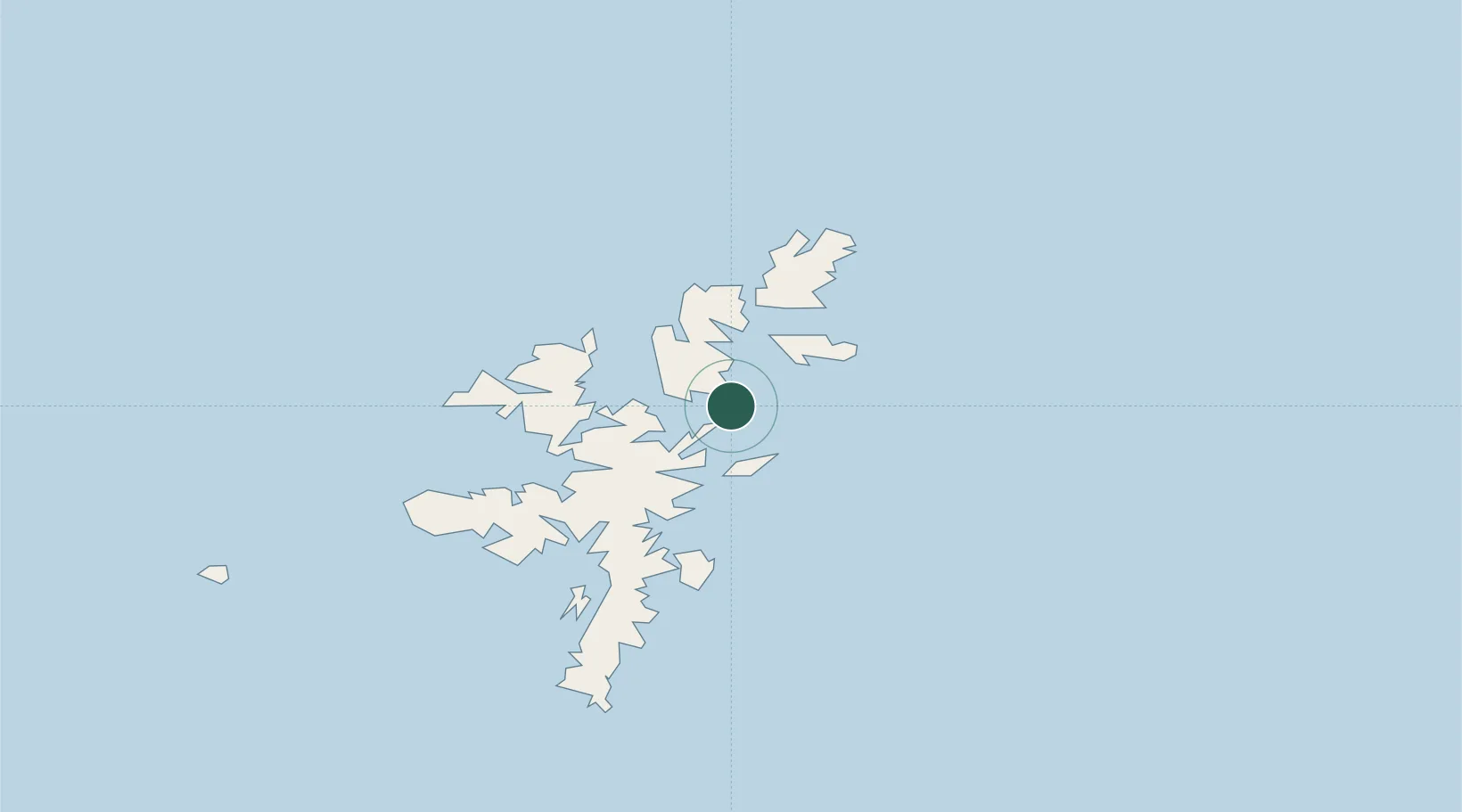
Location
Nearby Logistics Neighbours
Cities
- 1Ulsta, Yell8 km
- 2Toft Shetland11 km
- 3Shetland12 km
- 4Mid Yell13 km
- 5Vidlin15 km
Ports
- 1Sullom Voe16 km
- 2Lerwick36 km
- 3Scalloway42 km
- 4Kettletoft165 km
- 5Pierowall170 km
Airports
- 1Lerwick / Tingwall Airport35 km
- 2Sumburgh Airport69 km
- 3Foula Airfield70 km
- 4Fair Isle Airport111 km
- 5North Ronaldsay Airport147 km
Trade Zones
DatabookThe Record of Consolidated Knowledge
United Kingdom beyond logistics?