Transport Functions
Rail
Road
Hub Profile
Place type
Populated place
Region
England
Time zone
Europe/London
Elevation
85 m
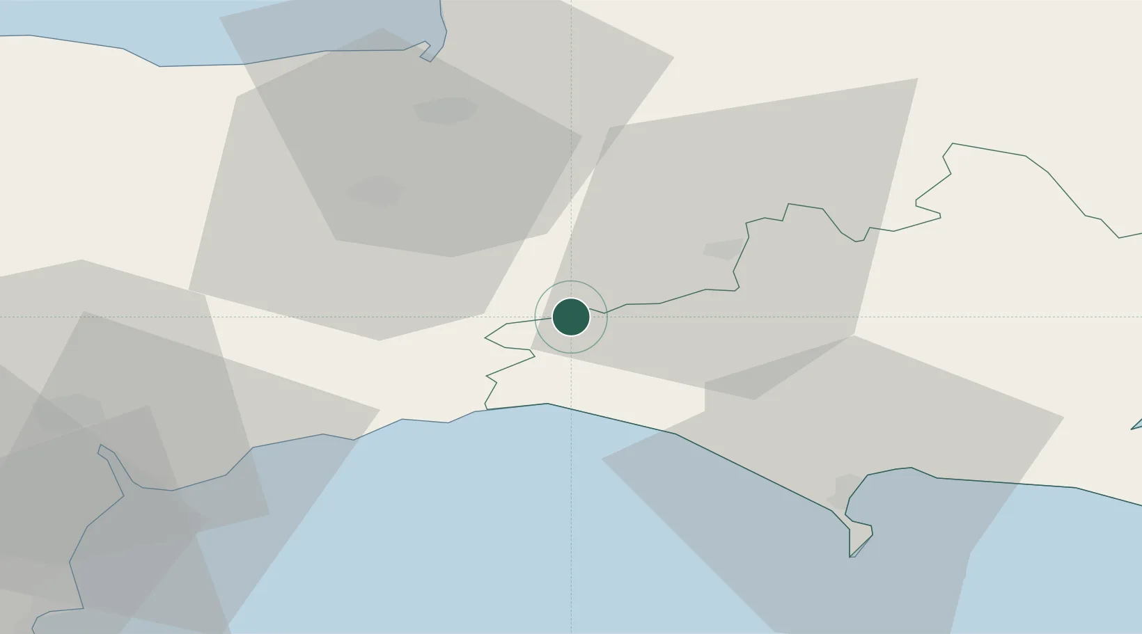
Location
Nearby Logistics Neighbours
Cities
- 1Charmouth14 km
- 2Lyme Regis15 km
- 3Chideock15 km
- 4West Bay18 km
- 5Burton Bradstock19 km
Ports
- 1Bridport Harbour16 km
- 2Bridgwater34 km
- 3Weymouth Harbour37 km
- 4Portland Harbour41 km
- 5Watchet Harbor51 km
Airports
- 1RNAS Yeovilton22 km
- 2Exeter International Airport43 km
- 3Bristol Airport60 km
- 4Bournemouth Airport70 km
- 5Cardiff International Airport70 km
Trade Zones
DatabookThe Record of Consolidated Knowledge
United Kingdom beyond logistics?