UN/LOCODE hub · United Kingdom
GBSTT
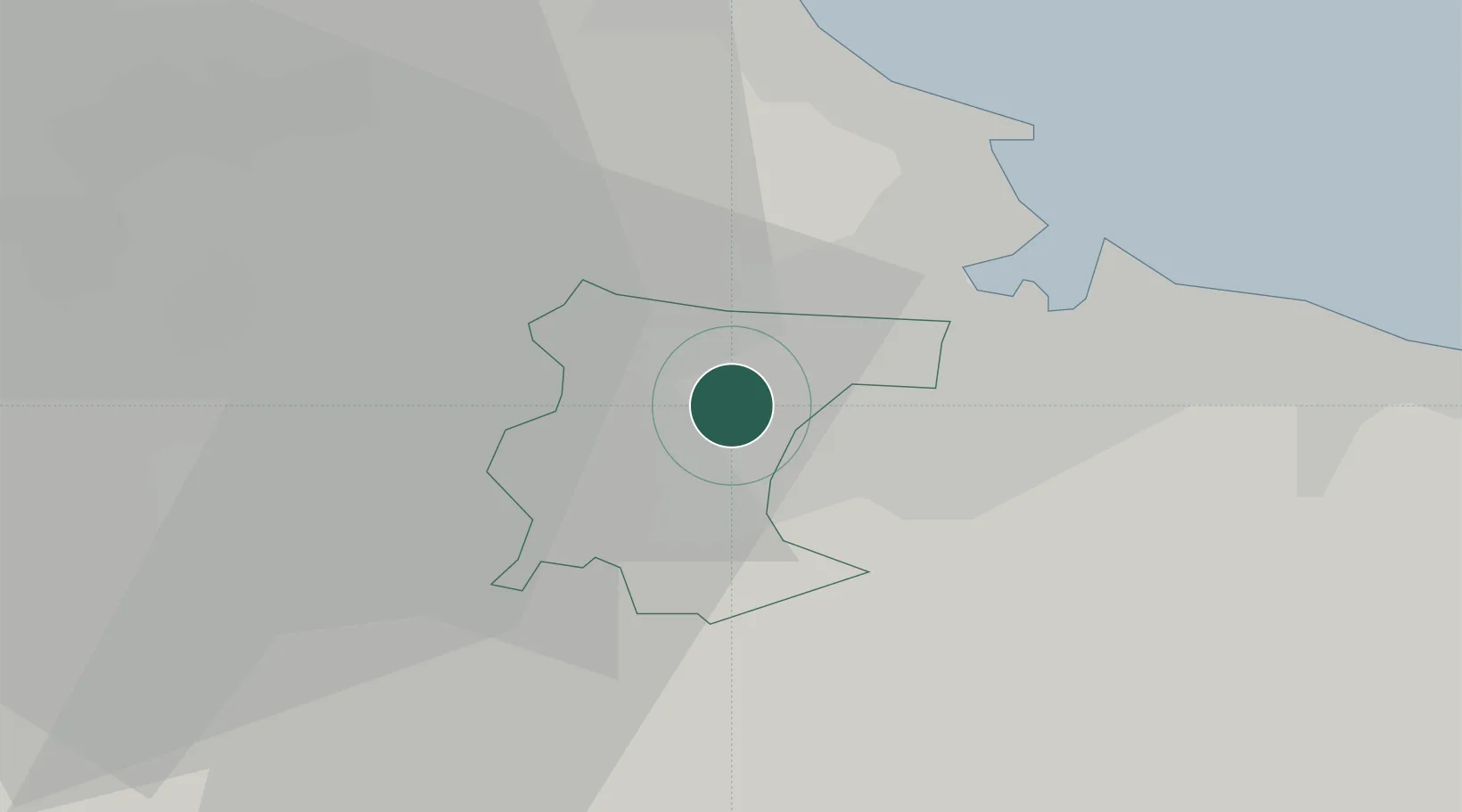
Stockton-on-Tees
54.5667°, -1.3167°
79,957
Population
3
Transport functions
Transport Functions
Port
Rail
Road
Hub Profile
Place type
Provincial seat
Region
England
Population
79,957
Time zone
Europe/London
Elevation
15 m
Location
Nearby Logistics Neighbours
Cities
- 1Billingham4 km
- 2Eaglescliffe4 km
- 3Port Clarence6 km
- 4Egglescliffe6 km
- 5Greatham9 km
Ports
- 1Teesport15 km
- 2Hartlepool17 km
- 3Seaham30 km
- 4Sunderland39 km
- 5Whitby46 km
Airports
- 1Teesside International Airport10 km
- 2RAF Leeming33 km
- 3RAF Topcliffe41 km
- 4Newcastle International Airport58 km
- 5Leeds Bradford Airport81 km
Trade Zones
DatabookThe Record of Consolidated Knowledge
United Kingdom beyond logistics?