UN/LOCODE hub · United Kingdom
GBBHW
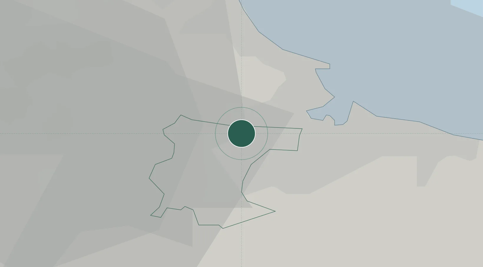
Billingham
54.6000°, -1.3000°
35,708
Population
1
Transport functions
Transport Functions
Port
Hub Profile
Place type
Populated place
Region
England
Population
35,708
Time zone
Europe/London
Elevation
13 m
Location
Nearby Logistics Neighbours
Cities
- 1Stockton-on-Tees4 km
- 2Port Clarence5 km
- 3Greatham6 km
- 4Eaglescliffe8 km
- 5Middlesbrough8 km
Ports
- 1Teesport12 km
- 2Hartlepool13 km
- 3Seaham26 km
- 4Sunderland36 km
- 5Tynemouth45 km
Airports
- 1Teesside International Airport13 km
- 2RAF Leeming37 km
- 3RAF Topcliffe44 km
- 4Newcastle International Airport55 km
- 5Leeds Bradford Airport85 km
Trade Zones
DatabookThe Record of Consolidated Knowledge
United Kingdom beyond logistics?