Transport Functions
Port
Road
Hub Profile
Place type
District seat
Region
England
Population
939
Time zone
Europe/London
Elevation
19 m
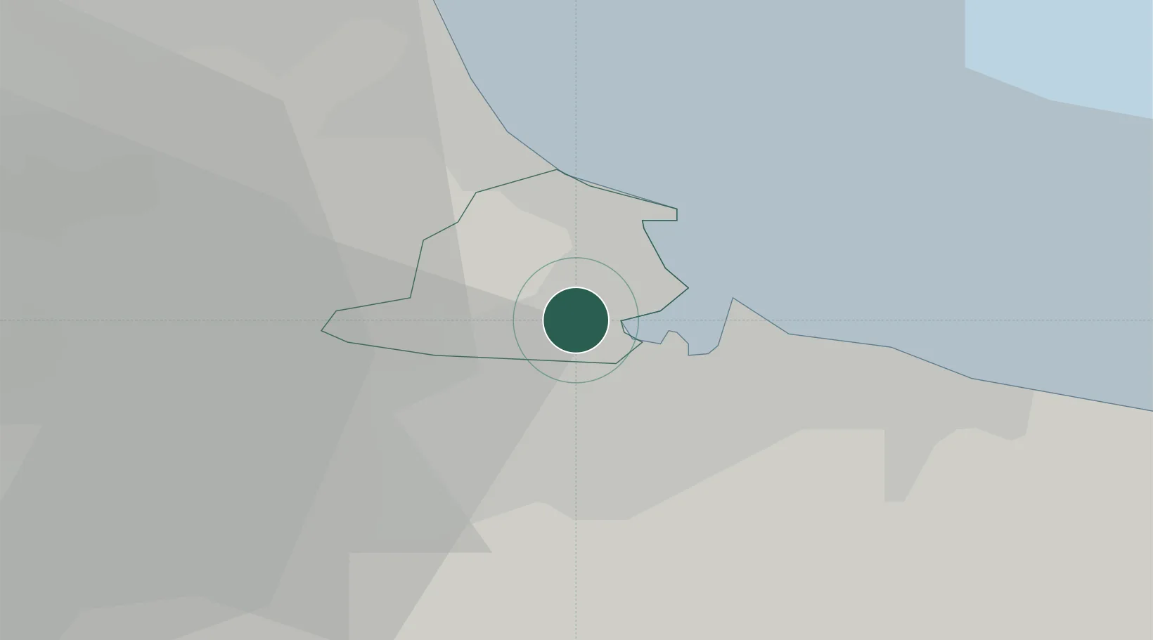
Location
Nearby Logistics Neighbours
Cities
- 1Port Clarence6 km
- 2Hartlepool6 km
- 3Billingham6 km
- 4Teesport6 km
- 5Seal Sands6 km
Ports
- 1Teesport7 km
- 2Hartlepool8 km
- 3Seaham23 km
- 4Sunderland33 km
- 5Tynemouth42 km
Airports
- 1Teesside International Airport19 km
- 2RAF Leeming42 km
- 3RAF Topcliffe49 km
- 4Newcastle International Airport54 km
- 5Leeds East Airport89 km
Trade Zones
DatabookThe Record of Consolidated Knowledge
United Kingdom beyond logistics?