Transport Functions
Port
Rail
Road
Hub Profile
Place type
Populated place
Region
England
Time zone
Europe/London
Elevation
5 m
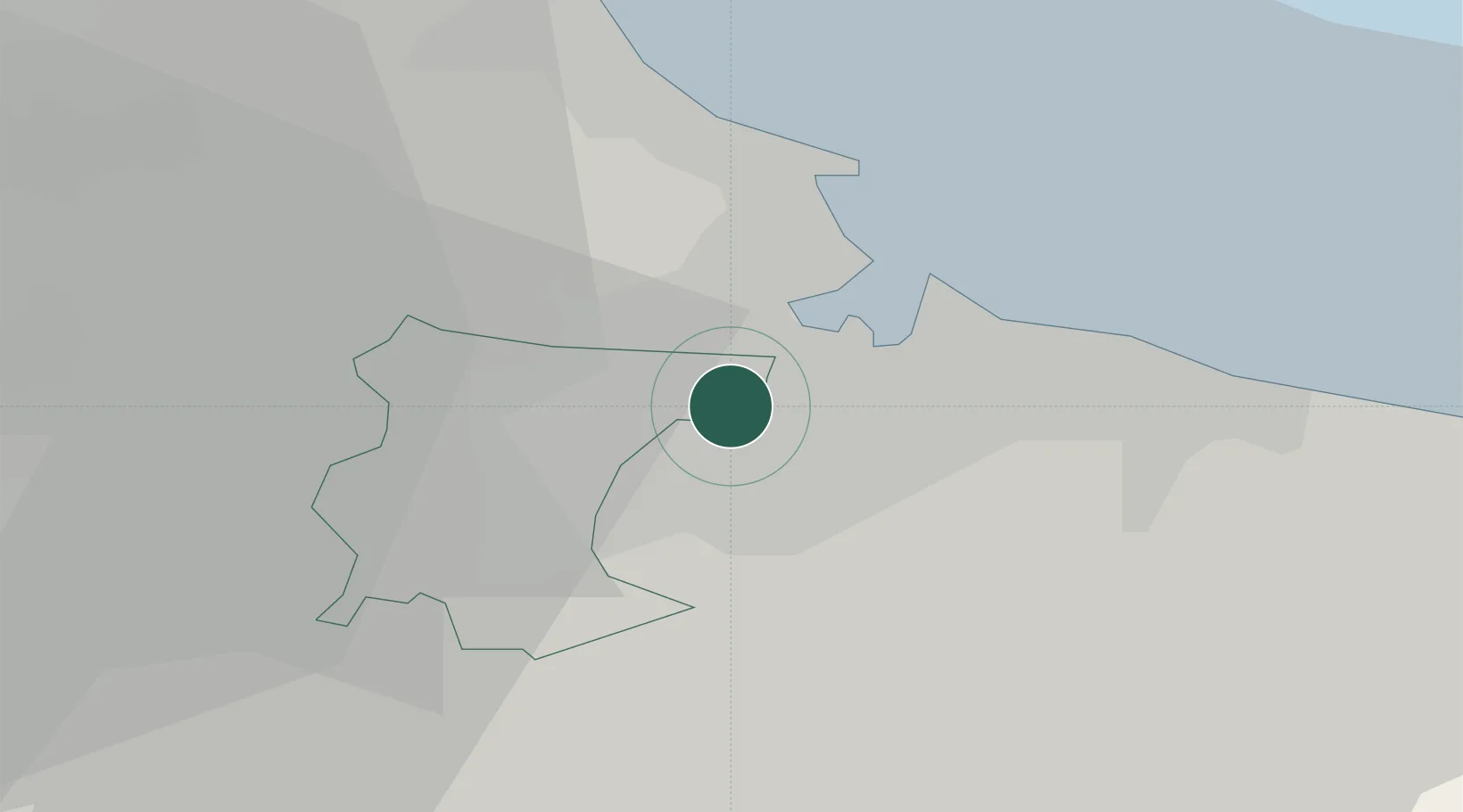
Location
Nearby Logistics Neighbours
Cities
- 1Middlesbrough4 km
- 2Billingham5 km
- 3Teesport5 km
- 4Greatham6 km
- 5Stockton-on-Tees6 km
Ports
- 1Teesport10 km
- 2Hartlepool13 km
- 3Seaham28 km
- 4Sunderland38 km
- 5Whitby41 km
Airports
- 1Teesside International Airport15 km
- 2RAF Leeming38 km
- 3RAF Topcliffe43 km
- 4Newcastle International Airport58 km
- 5Leeds East Airport83 km
Trade Zones
DatabookThe Record of Consolidated Knowledge
United Kingdom beyond logistics?