Transport Functions
Multimodal
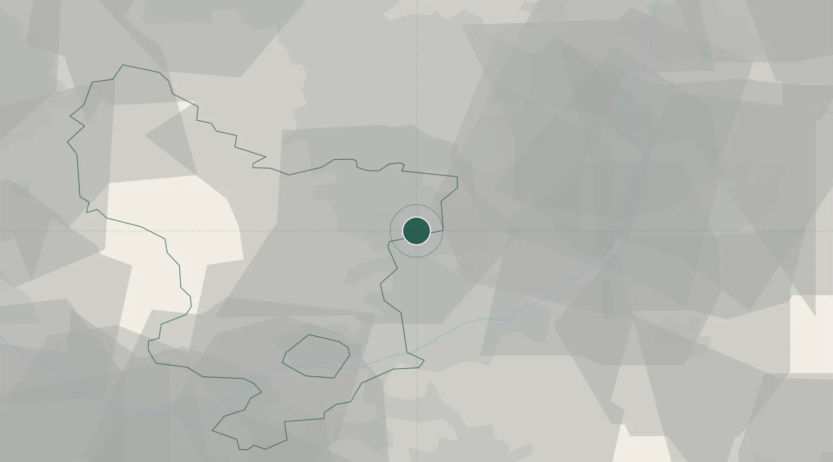
Hub Profile
Place type
Populated place
Region
England
Time zone
Europe/London
Elevation
123 m
Location
Nearby Logistics Neighbours
Cities
- 1Shirebrook4 km
- 2Mansfield Woodhouse4 km
- 3Holmewood7 km
- 4Annesley Woodhouse11 km
- 5Staveley13 km
Ports
- 1Goole65 km
- 2Howdendyke68 km
- 3Manchester76 km
- 4New Holland83 km
- 5Boston85 km
Airports
- 1Nottingham City Airport30 km
- 2East Midlands Airport38 km
- 3RAF Waddington48 km
- 4RAF Barkston Heath52 km
- 5RAF Cranwell53 km
DatabookThe Record of Consolidated Knowledge
United Kingdom beyond logistics?