UN/LOCODE hub · United Kingdom
GBSVY
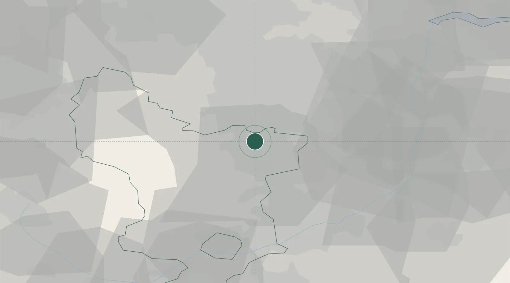
Staveley
53.2667°, -1.3500°
25,719
Population
2
Transport functions
Transport Functions
Rail
Road
Hub Profile
Place type
Populated place
Region
England
Population
25,719
Time zone
Europe/London
Elevation
67 m
Location
Nearby Logistics Neighbours
Cities
- 1Barlborough5 km
- 2Holmewood9 km
- 3Scarcliffe11 km
- 4Seacroft11 km
- 5Shirebrook12 km
Ports
- 1Goole59 km
- 2Howdendyke60 km
- 3Manchester65 km
- 4New Holland81 km
- 5Immingham86 km
Airports
- 1Nottingham City Airport43 km
- 2East Midlands Airport49 km
- 3RAF Waddington56 km
- 4Manchester Airport62 km
- 5RAF Barkston Heath63 km
DatabookThe Record of Consolidated Knowledge
United Kingdom beyond logistics?