UN/LOCODE hub · United Kingdom
GBSIO
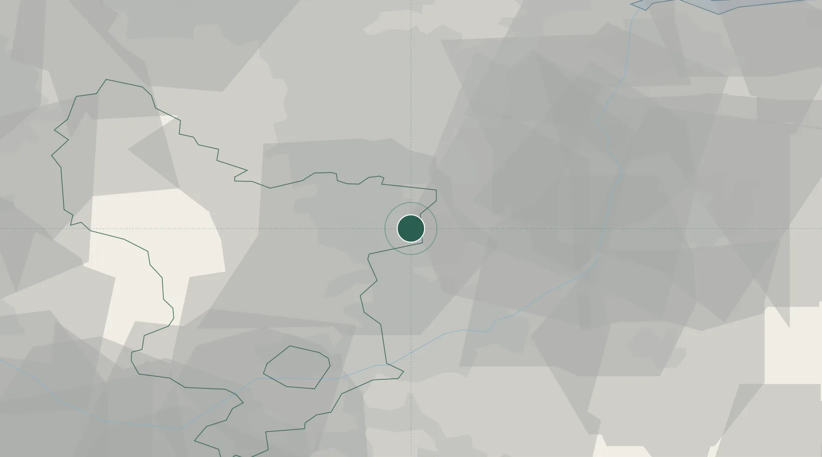
Shirebrook
53.2000°, -1.2167°
10,885
Population
2
Transport functions
Transport Functions
Rail
Road
Hub Profile
Place type
Populated place
Region
England
Population
10,885
Time zone
Europe/London
Elevation
87 m
Location
Nearby Logistics Neighbours
Cities
- 1Pleasley4 km
- 2Mansfield Woodhouse4 km
- 3Holmewood9 km
- 4Barlborough10 km
- 5Staveley12 km
Ports
- 1Goole61 km
- 2Howdendyke63 km
- 3Manchester77 km
- 4New Holland79 km
- 5Immingham83 km
Airports
- 1Nottingham City Airport33 km
- 2East Midlands Airport42 km
- 3RAF Waddington46 km
- 4RAF Barkston Heath51 km
- 5RAF Cranwell52 km
DatabookThe Record of Consolidated Knowledge
United Kingdom beyond logistics?