Transport Functions
Rail
Road
Hub Profile
Place type
Populated place
Region
England
Time zone
Europe/London
Elevation
163 m
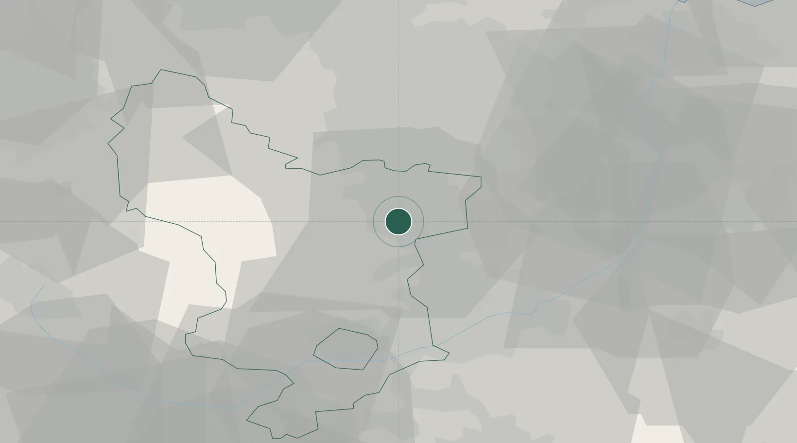
Location
Nearby Logistics Neighbours
Cities
- 1Pleasley7 km
- 2Shirebrook9 km
- 3Staveley9 km
- 4Mansfield Woodhouse11 km
- 5Barlborough12 km
Ports
- 1Goole67 km
- 2Howdendyke69 km
- 3Manchester69 km
- 4New Holland87 km
- 5Immingham91 km
Airports
- 1Nottingham City Airport34 km
- 2East Midlands Airport39 km
- 3RAF Waddington55 km
- 4RAF Barkston Heath58 km
- 5RAF Cranwell60 km
DatabookThe Record of Consolidated Knowledge
United Kingdom beyond logistics?