UN/LOCODE hub · United Kingdom
GBMWO
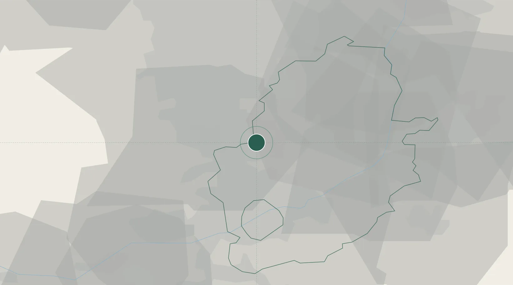
Mansfield Woodhouse
53.1667°, -1.1833°
18,330
Population
2
Transport functions
Transport Functions
Rail
Road
Hub Profile
Place type
Populated place
Region
England
Population
18,330
Time zone
Europe/London
Elevation
88 m
Location
Nearby Logistics Neighbours
Cities
- 1Shirebrook4 km
- 2Pleasley4 km
- 3Bilsthorpe11 km
- 4Holmewood11 km
- 5Ollerton12 km
Ports
- 1Goole64 km
- 2Howdendyke66 km
- 3Manchester80 km
- 4New Holland80 km
- 5Boston81 km
Airports
- 1Nottingham City Airport28 km
- 2East Midlands Airport39 km
- 3RAF Waddington44 km
- 4RAF Barkston Heath48 km
- 5RAF Cranwell49 km
DatabookThe Record of Consolidated Knowledge
United Kingdom beyond logistics?