Transport Functions
Rail
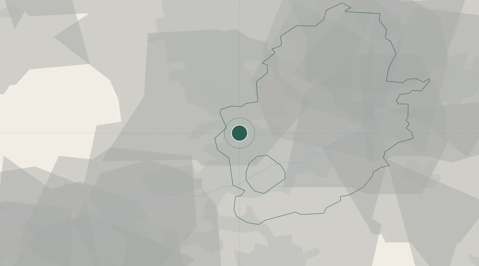
Hub Profile
Place type
Populated place
Region
England
Time zone
Europe/London
Elevation
182 m
Location
Nearby Logistics Neighbours
Cities
- 1Langley Mill8 km
- 2Pleasley11 km
- 3Cossall11 km
- 4Oadby11 km
- 5Denby12 km
Ports
- 1Goole76 km
- 2Howdendyke78 km
- 3Manchester82 km
- 4Boston83 km
- 5New Holland92 km
Airports
- 1Nottingham City Airport20 km
- 2East Midlands Airport27 km
- 3RAF Barkston Heath48 km
- 4RAF Waddington50 km
- 5RAF Cranwell51 km
Trade Zones
DatabookThe Record of Consolidated Knowledge
United Kingdom beyond logistics?