UN/LOCODE hub · United Kingdom
GBRTY
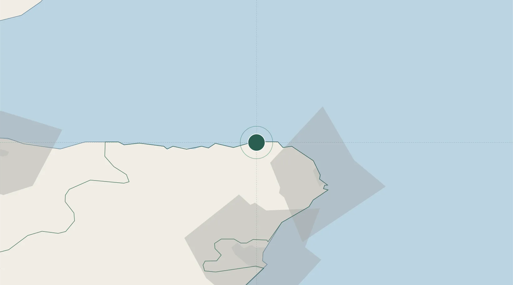
Rosehearty
57.7000°, -2.1000°
1,320
Population
2
Transport functions
Transport Functions
Port
Road
Hub Profile
Place type
Populated place
Region
Scotland
Population
1,320
Time zone
Europe/London
Elevation
8 m
Location
Nearby Logistics Neighbours
Cities
- 1Sandhaven and Pitullie4 km
- 2Fraserburgh5 km
- 3Pennan11 km
- 4Cairnbulg12 km
- 5Inverallochy12 km
Ports
- 1Fraserburgh Harbor6 km
- 2Macduff24 km
- 3Peterhead29 km
- 4Buckie Harbor52 km
- 5Aberdeen61 km
Airports
- 1Aberdeen International Airport56 km
- 2RAF Lossiemouth74 km
- 3Wick John O'Groats Airport103 km
- 4Inverness Airport117 km
- 5Kirkwall Airport148 km
Trade Zones
DatabookThe Record of Consolidated Knowledge
United Kingdom beyond logistics?