Transport Functions
Port
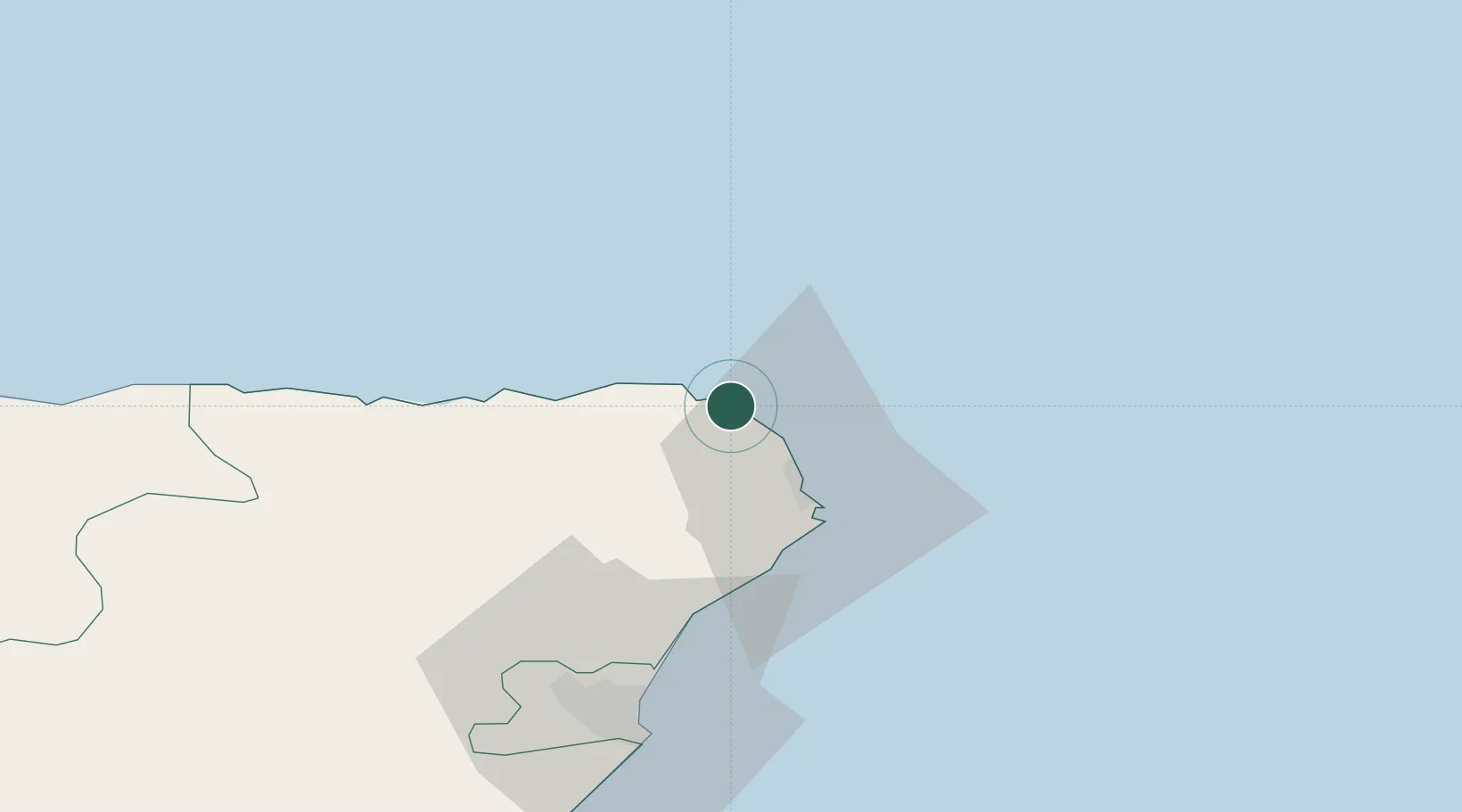
Hub Profile
Place type
Populated place
Region
Scotland
Time zone
Europe/London
Elevation
10 m
Location
Nearby Logistics Neighbours
Cities
- 1Cairnbulg0 km
- 2Saint Combs and Charleston0 km
- 3Fraserburgh6 km
- 4Sandhaven and Pitullie7 km
- 5Rosehearty12 km
Ports
- 1Fraserburgh Harbor5 km
- 2Peterhead20 km
- 3Macduff35 km
- 4Aberdeen58 km
- 5Buckie Harbor63 km
Airports
- 1Aberdeen International Airport54 km
- 2RAF Lossiemouth85 km
- 3Wick John O'Groats Airport112 km
- 4Dundee Airport151 km
- 5Kirkwall Airport155 km
Trade Zones
DatabookThe Record of Consolidated Knowledge
United Kingdom beyond logistics?