Transport Functions
Port
Hub Profile
Region
ABD
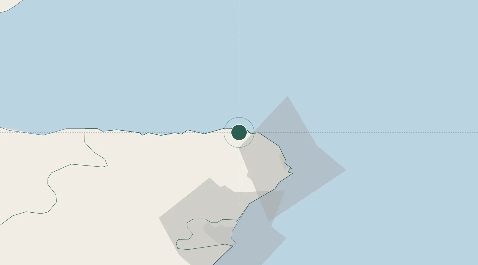
Location
Nearby Logistics Neighbours
Cities
- 1Fraserburgh1 km
- 2Rosehearty4 km
- 3Cairnbulg7 km
- 4Inverallochy7 km
- 5Saint Combs and Charleston7 km
Ports
- 1Fraserburgh Harbor2 km
- 2Peterhead25 km
- 3Macduff28 km
- 4Buckie Harbor56 km
- 5Aberdeen59 km
Airports
- 1Aberdeen International Airport54 km
- 2RAF Lossiemouth78 km
- 3Wick John O'Groats Airport106 km
- 4Inverness Airport121 km
- 5Dundee Airport149 km
Trade Zones
DatabookThe Record of Consolidated Knowledge
United Kingdom beyond logistics?